
723 KM
7
9-11
99 %
77 %
12,249 M
4 %
2038 M
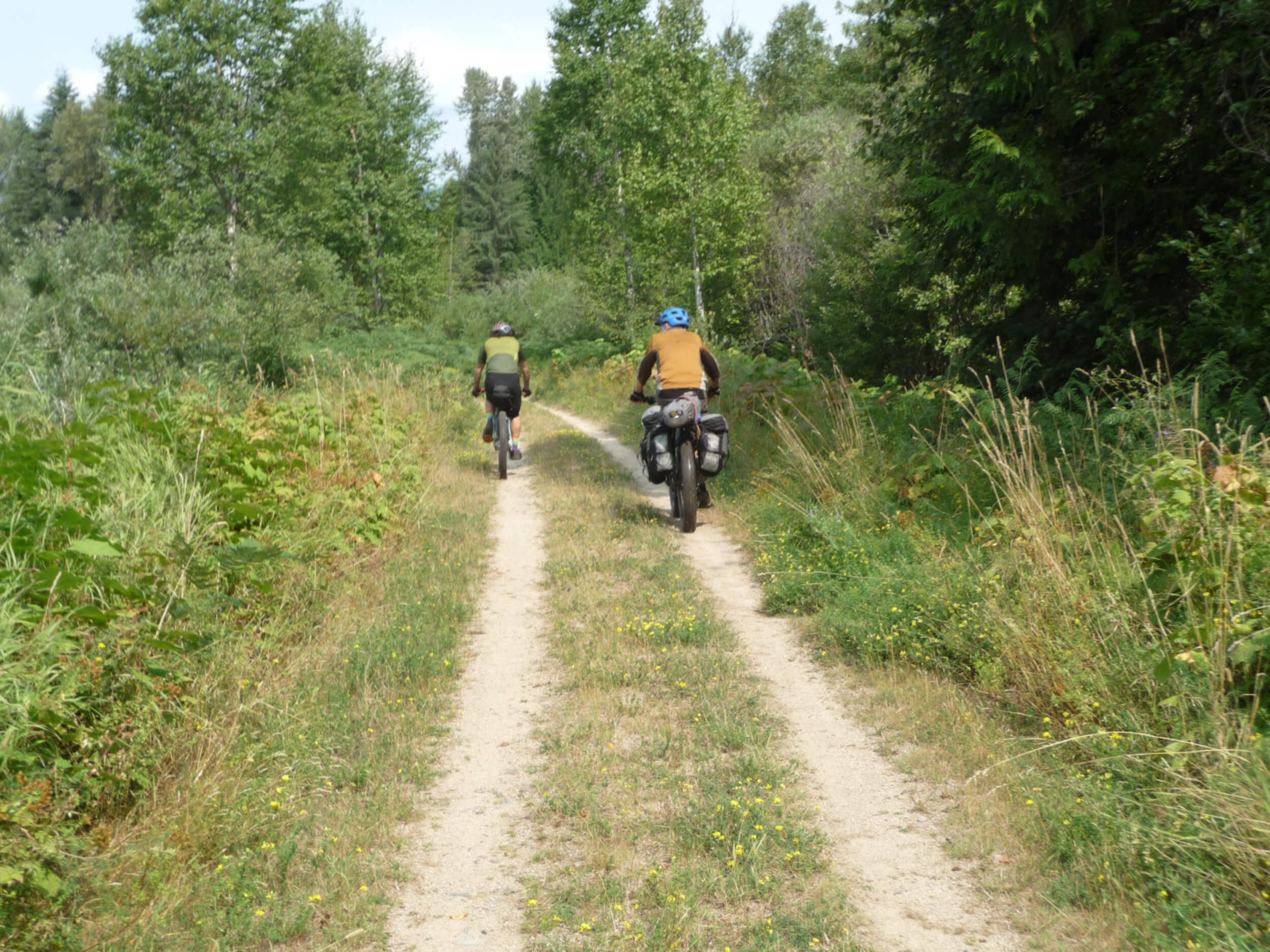
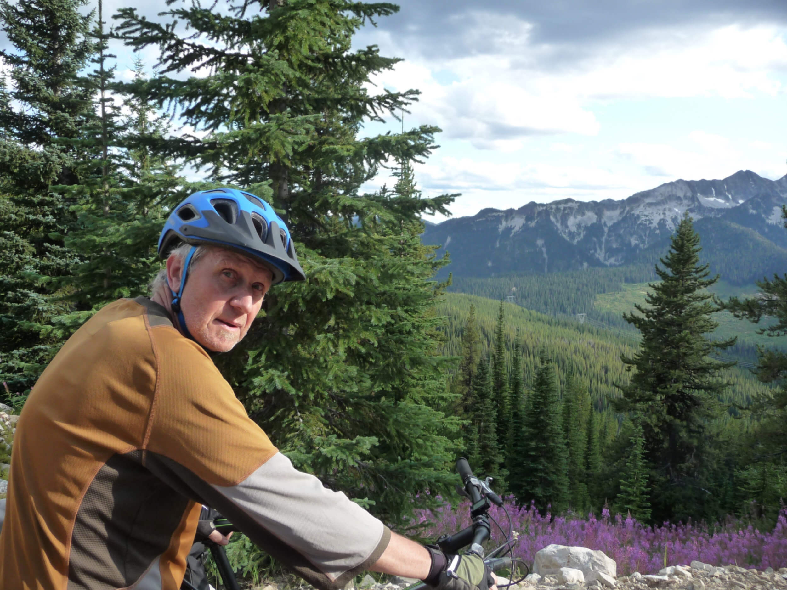
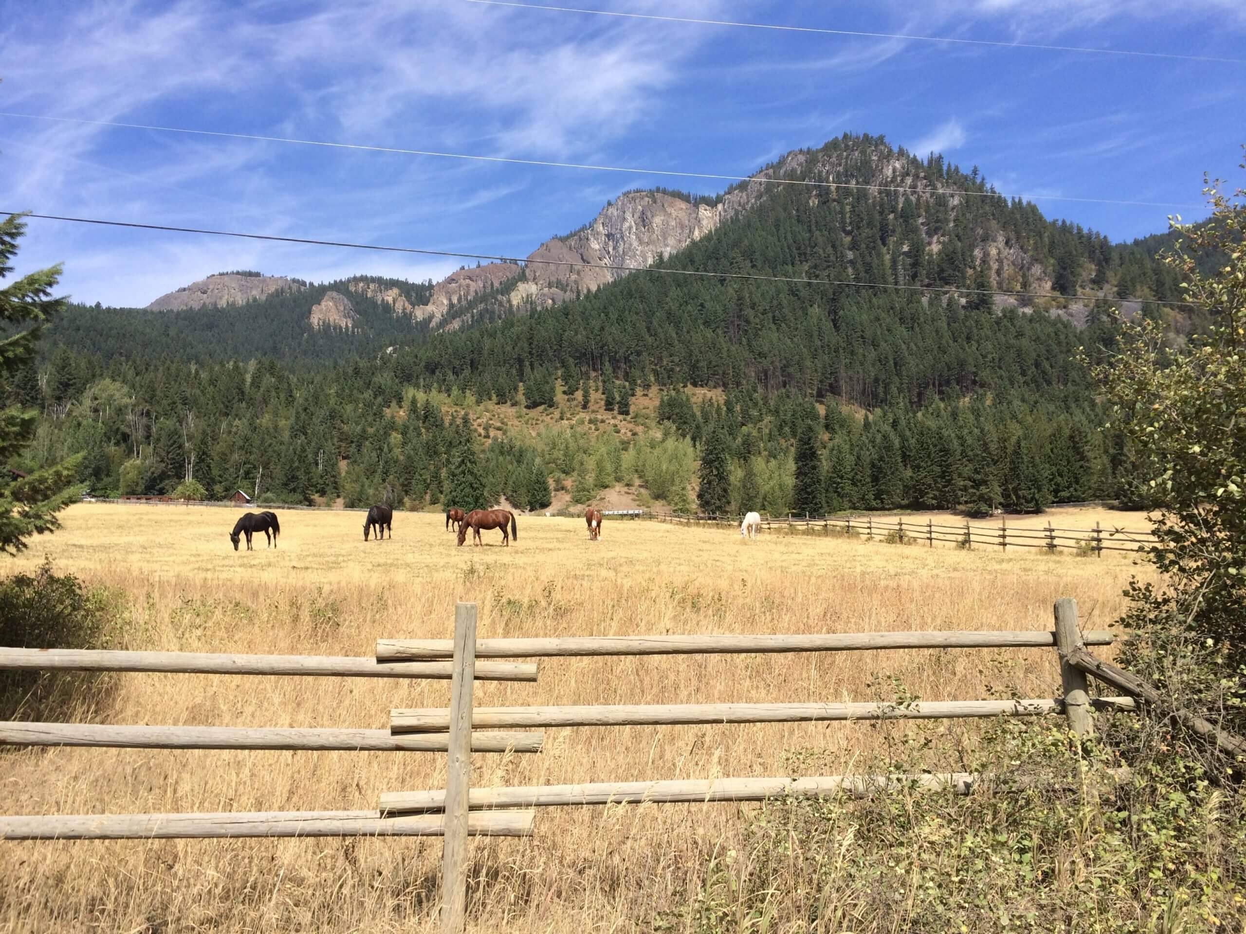
The Kootenay-Okanagan Loop cuts through diverse landscapes with ecosystems unique to the various mountain ranges in the Selkirk and Monashee mountains offering some spectacular bikepacking and views traversing the Kootenay, Boundary and Okanagan Regions of British Columbia.
The beauty of the loop is there is little to no logistics except getting to Nelson and parking your vehicle. The idea of riding from our front doors and back was appealing. This route is highly customizable and has many options depending on navigation skills. However we can vouch that the route provided is all ride-able/push-able with exception to the one creek crossing that might a little too fast in higher water in early season. The alternate route is to take the highway. The route has a nice mix of dirt, double track, single track and some pavement with some challenging climbs.
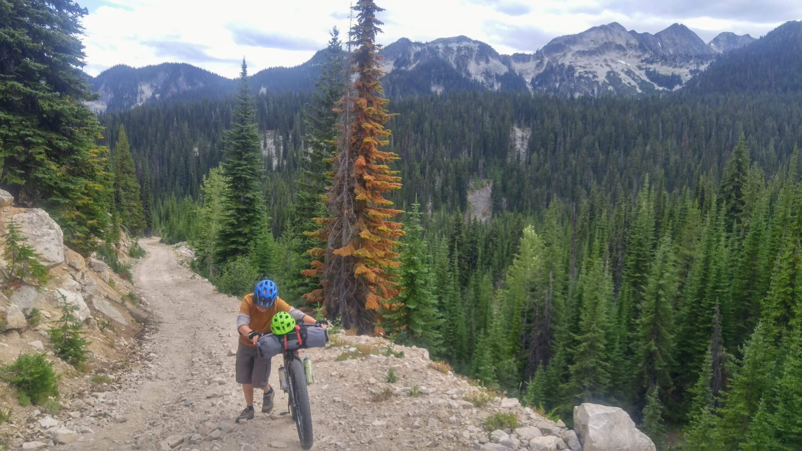
The first 285km km have the most challenging climbs over the Valhallas and King George Forest Service Road near Vernon. The view from the top of the Valhallas overlooking Arrow Lakes is phenomenal as is the descent. Be prepared to push-a-bike for 4-5 hours over the Valhallas and a good 4-5 hours of riding up the King George FSR.
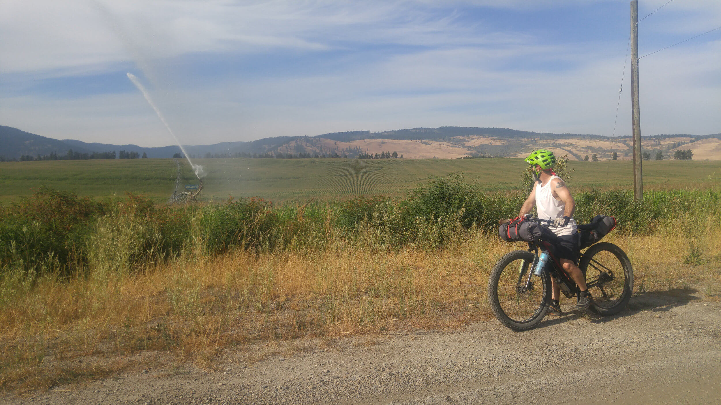
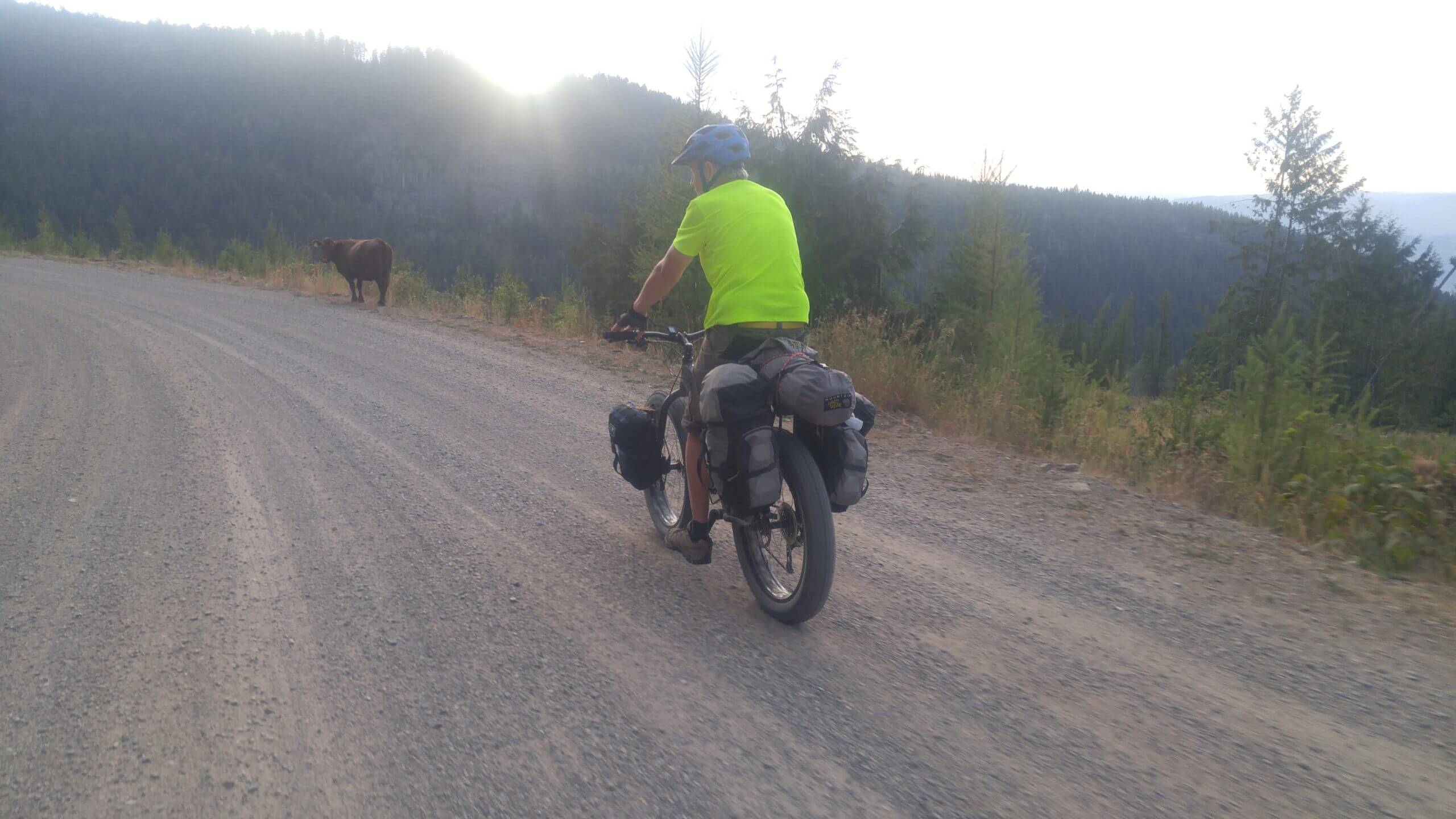
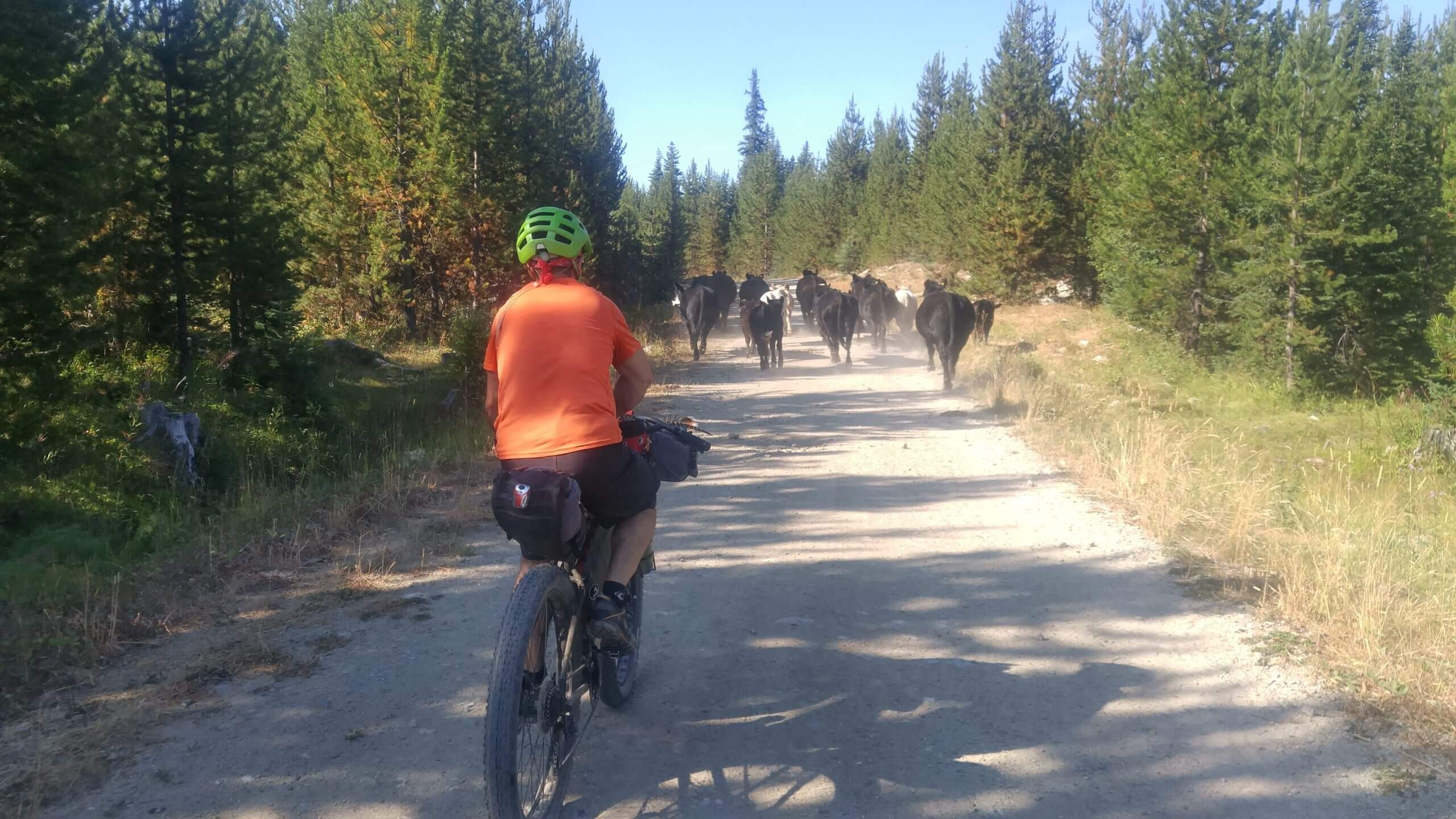
The route would have been rated higher for dirt but one of the sections planned was impassable and the team had to back track and use pavement to reach the next section. Some single track was explored on the High Rim Trail. Some of it is ride-able but lots of pushing/hiking with bike. You’ve been warned! Water is scarce in the Okanagan during August. Any water found is generally dirty and stagnant. The Highlands have lots of agro-forestry and you’ll see lots of bovine friends roaming the route. Those familiar with the BC Epic will find part of this route very familiar as it follows some of the same sections.
Be sure to check out some of the local breweries and restaurants along the route and while in Nelson. If you need a place to crash/pitch your tent while in Nelson drop the team a line on our contact page.
Journal Entries
The first part of the route starts in Nelson and takes the rider North along highway 3A following the West Arm of Kootenay Lake for about 12.5km. At this point the route takes a left heading West along Six Mile Road starts to climb up towards Six Mile lakes towards Lemon Creek. The next 33km is a beautiful ride that passes both Six Mile Lakes and Sasquatch Lake. This connects the rider up to Lemon Creek Road. Crossing highway 6 it is easy to continue the next 10km into Slocan to stock up on supplies and enjoy some cold single serve bevies or simply continue to Little Slocan Lakes recreation site on Little Slocan Road for another 23km. This can be a busy road and does have active logging. A bandana is recommended if it is dry out. If feeling energetic and wanting to push another 10km there is another recreation site beyond Little Slocan Lakes called Grizzly Creek recreation site. There are fewer campers and the creek running through is beautiful. It is recommended to use Grizzly Creek recreation site for the end of the first day. The next section is grueling.
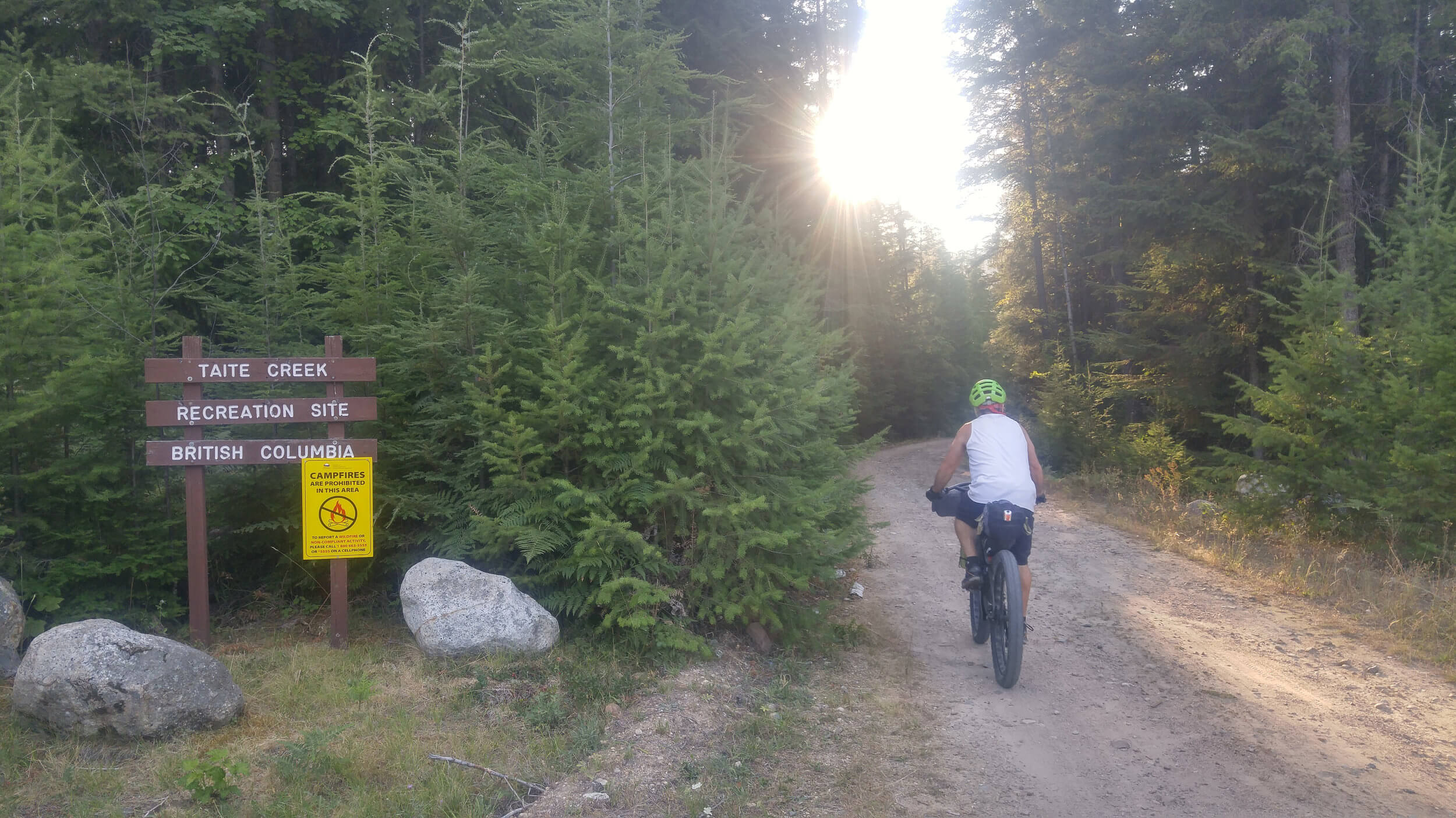
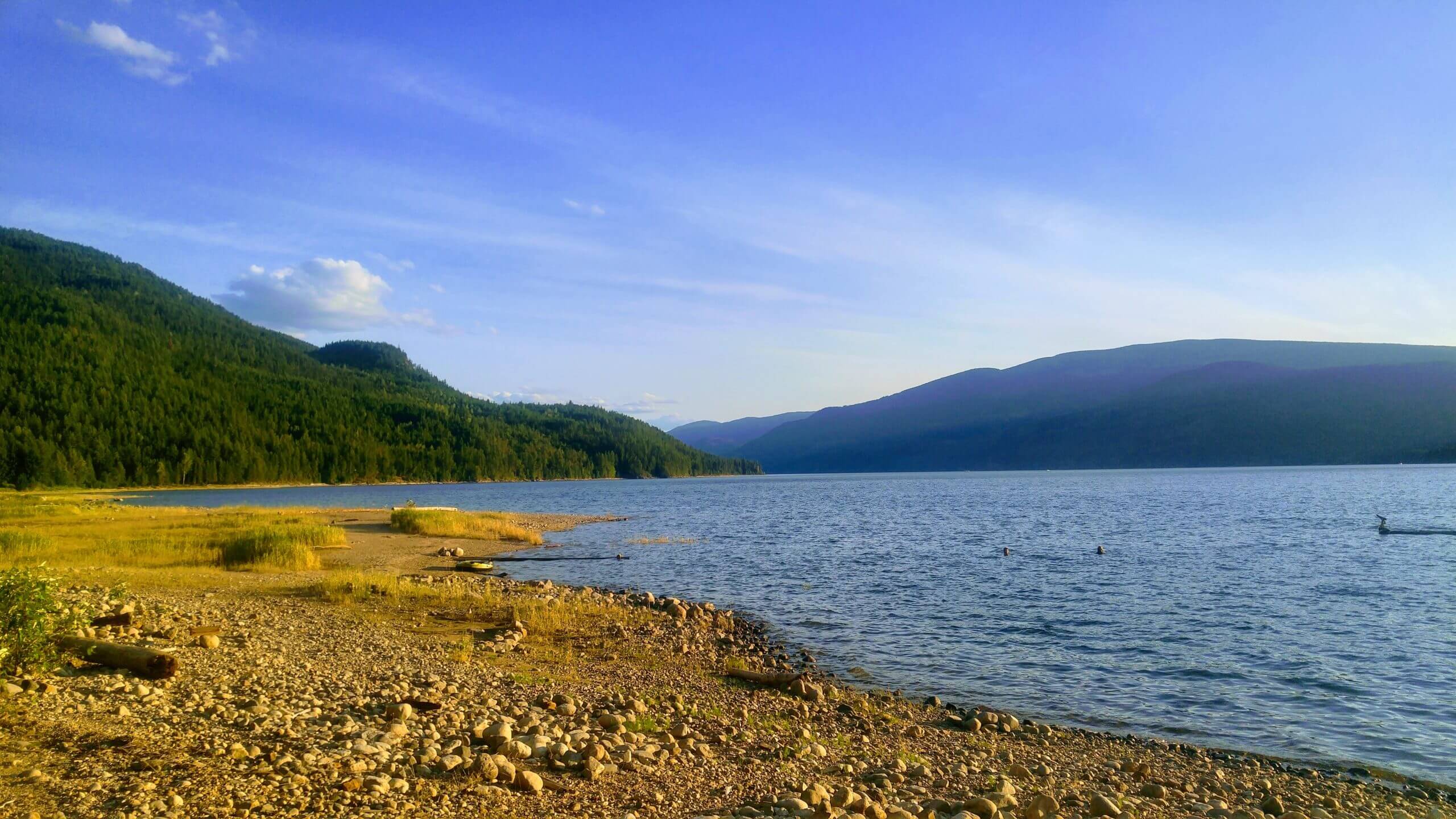
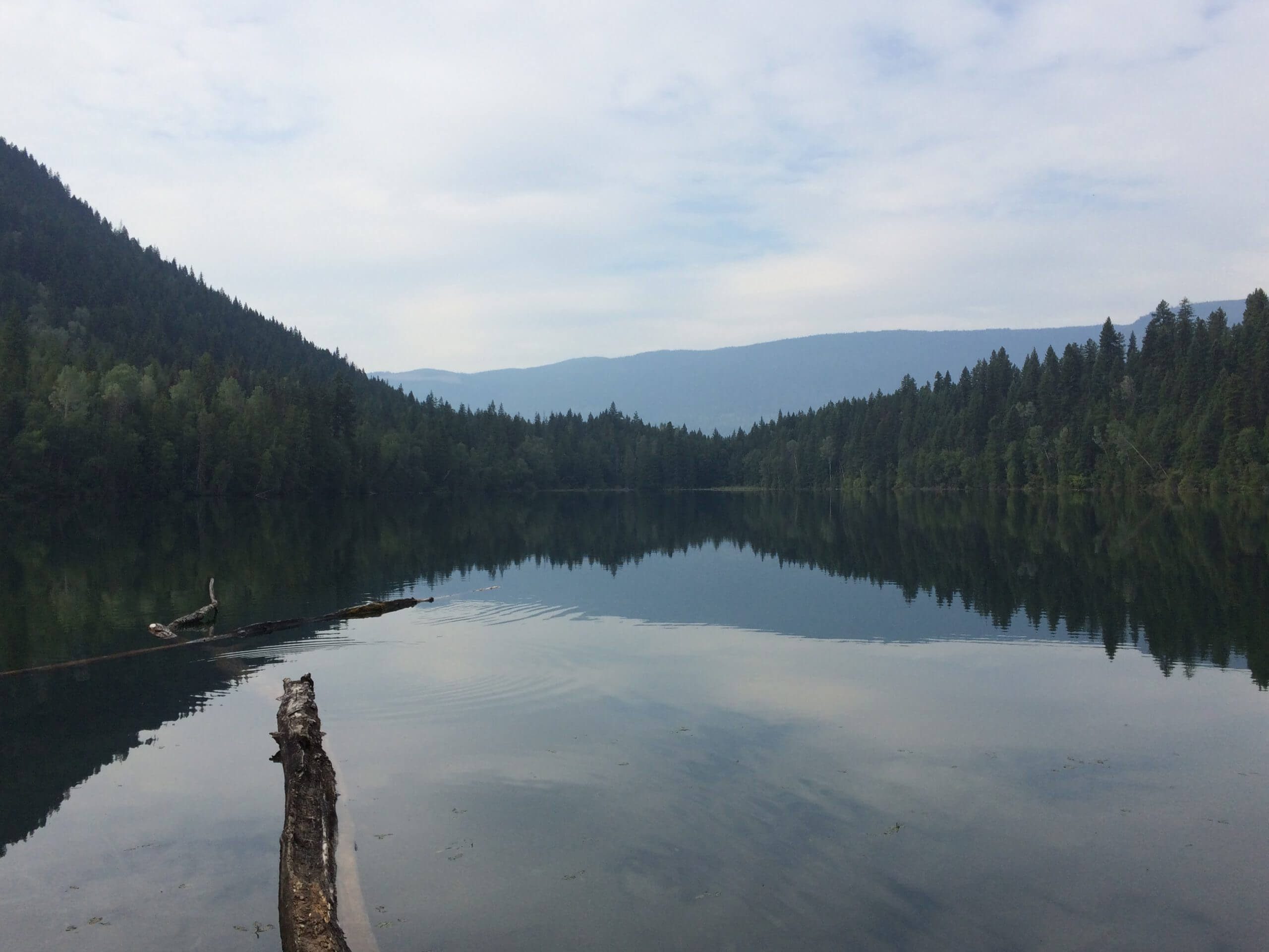
The next 50km from Little Slocan have one of the steepest climbs on the route going over the Valhallas. Expect 4-5 hours of bike pushing depending on your rig and fitness level. The grade is gnarly in spots and there is not much water along this section in mid-August. Once at the top you are rewarded with beautiful views of the Arrow Lakes and a very long and fast descent which exits at Taite Creek recreation site on Arrow Lake. Depending on the time of day, the ferry schedule and energy level it would be easy to keep pushing but riding in the dark could be in the forecast unless riding around end of June or beginning of July where the days are the longest. Taite is a nice way to end the day and camp on the lake. Camping here is free.
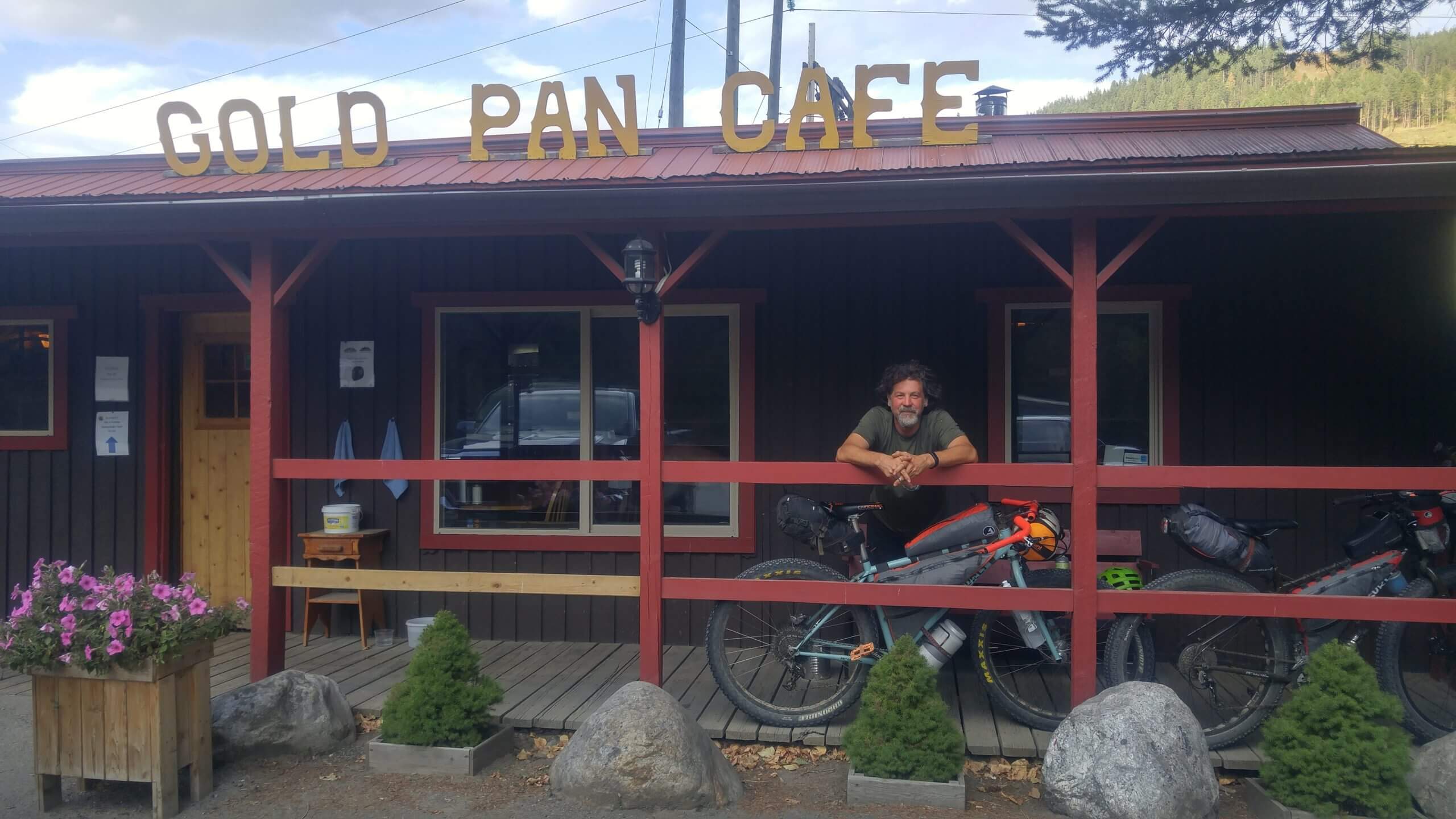
From Taite Creek Recreation Site make your way to the ferry. There is a re-supply store and also the Funky Flea which serves coffee and cinnamon buns. This day is not entirely accurate as we hit a dead end on day three and had to back track 40km as the road listed as “motorized recreation” was actually overgrown with alder and we were not confident that the motorized trail actually existed even beyond the growth. Once we backtracked to highway 6 it was busy and fast. We did good time on the pavement and stopped at the Gold Pan cafe. We stayed at one of the cabins at the camp site next door as the owner gave us a great deal after hearing we slept on the ground and in hammocks the night before in the near freezing alpine of the Monashees. I am not sure if the Gold Pan cafe is still open at the time of actually writing this. Expect this day to be mostly on pavement but there are some off road sections that parallel the highway. It’s blazing fast and you could realistically make it to Echo Lake provincial park or further.
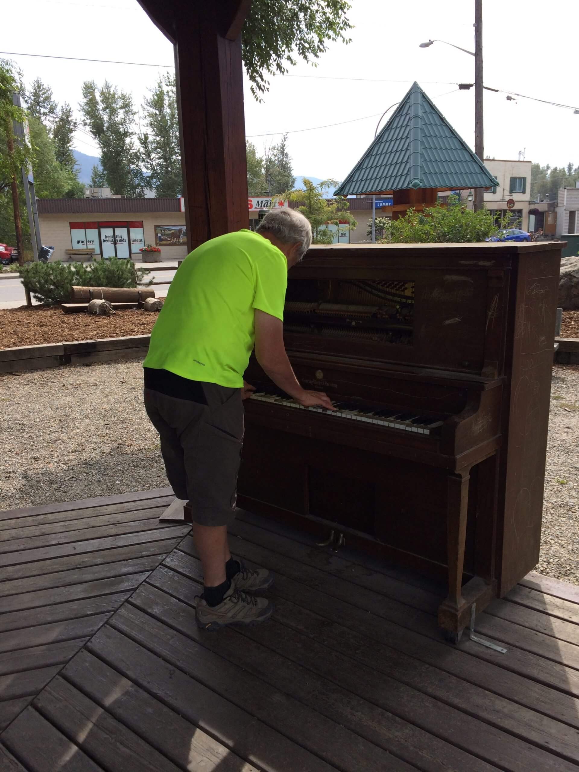
Leaving the Gold Pan cafe it’s time to get off the highway and ride the backroads and some dirt. Re-supply can be done in Lumby if low on supplies. Get some energy food because the next big climb is on the King Edwared Forest Service Road. It is rideable grade but expect to be pedaling up for a few hours. Water is also scarce in these parts during August so be prepared. There is water in lakes once the top is reached but the area is active with agro-forestry and you’re sharing water sources with cattle! Yuck! There are many free spots to camp and of course wild camping depending on where you end up on this day. We stopped at King Edward Lake which is actually a reservoir.
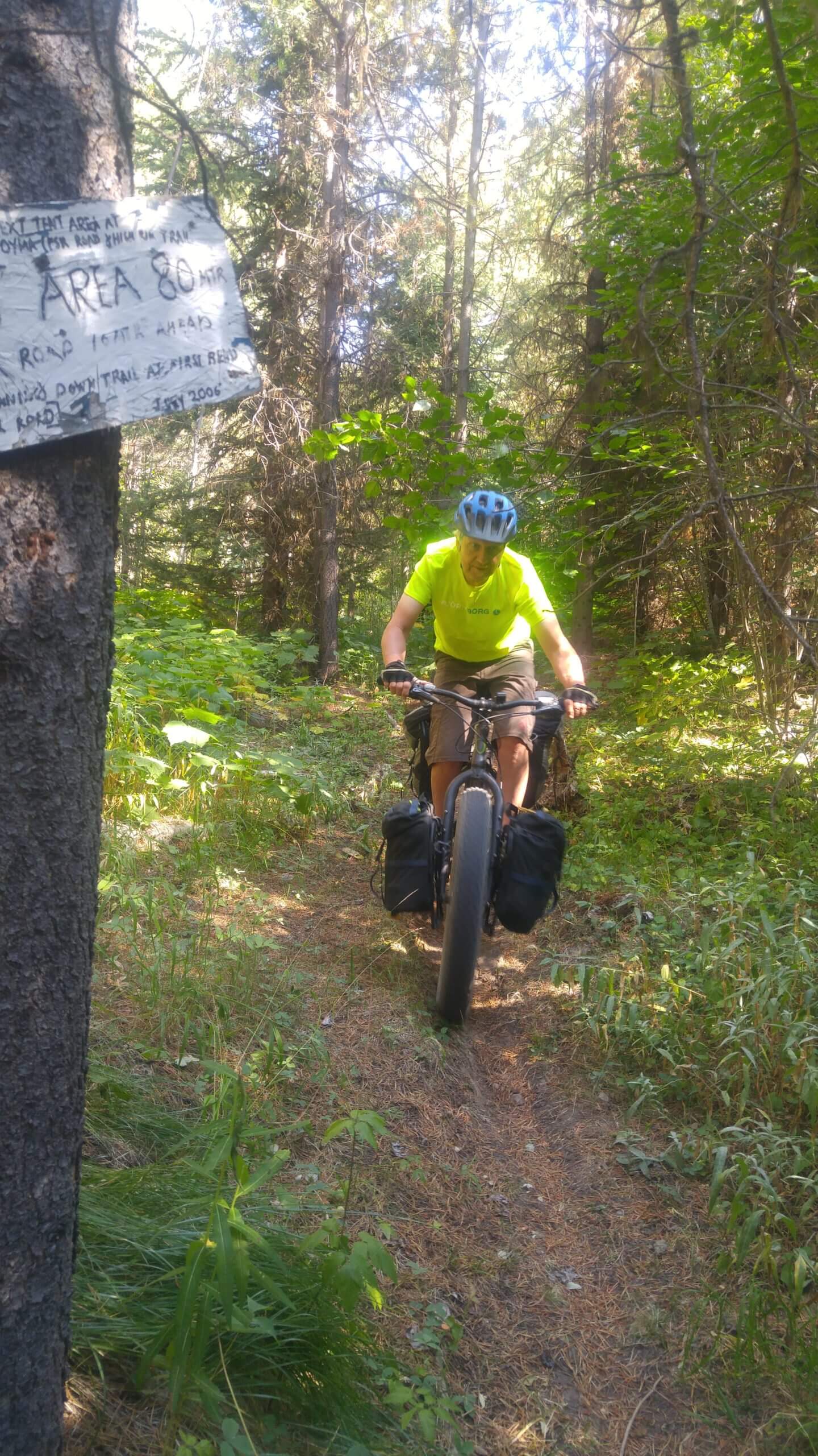
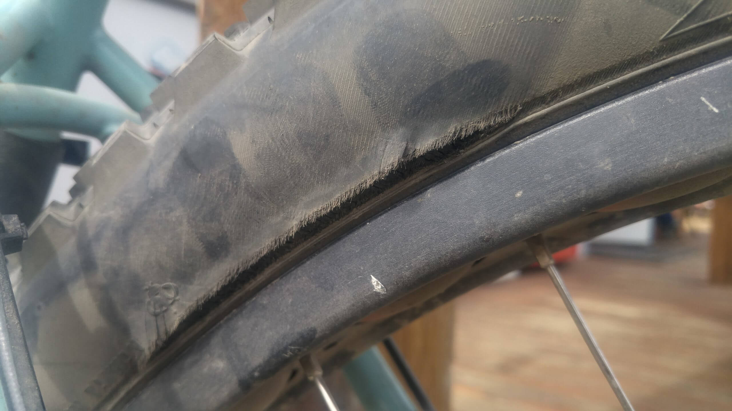
We didn’t travel far this day as we decided to try out some of the High Rim Trail. It is more of hiking trail than a bike trail. So there was lots of hike a bike and is an awkward section. One of our crew was having mechanical issues which made the day a little slower. We called it a day at Beaver Lake Resort. They have coffee, donuts, waffles, and some basic supplies. We enjoyed some time on the deck of the main resort before saying good bye to our amigo who was bailing and heading into Kelowna as an exit point. We decided to call it a day and camp at the Swalwell Lake recreation site although one could camp at the resort for a fee.
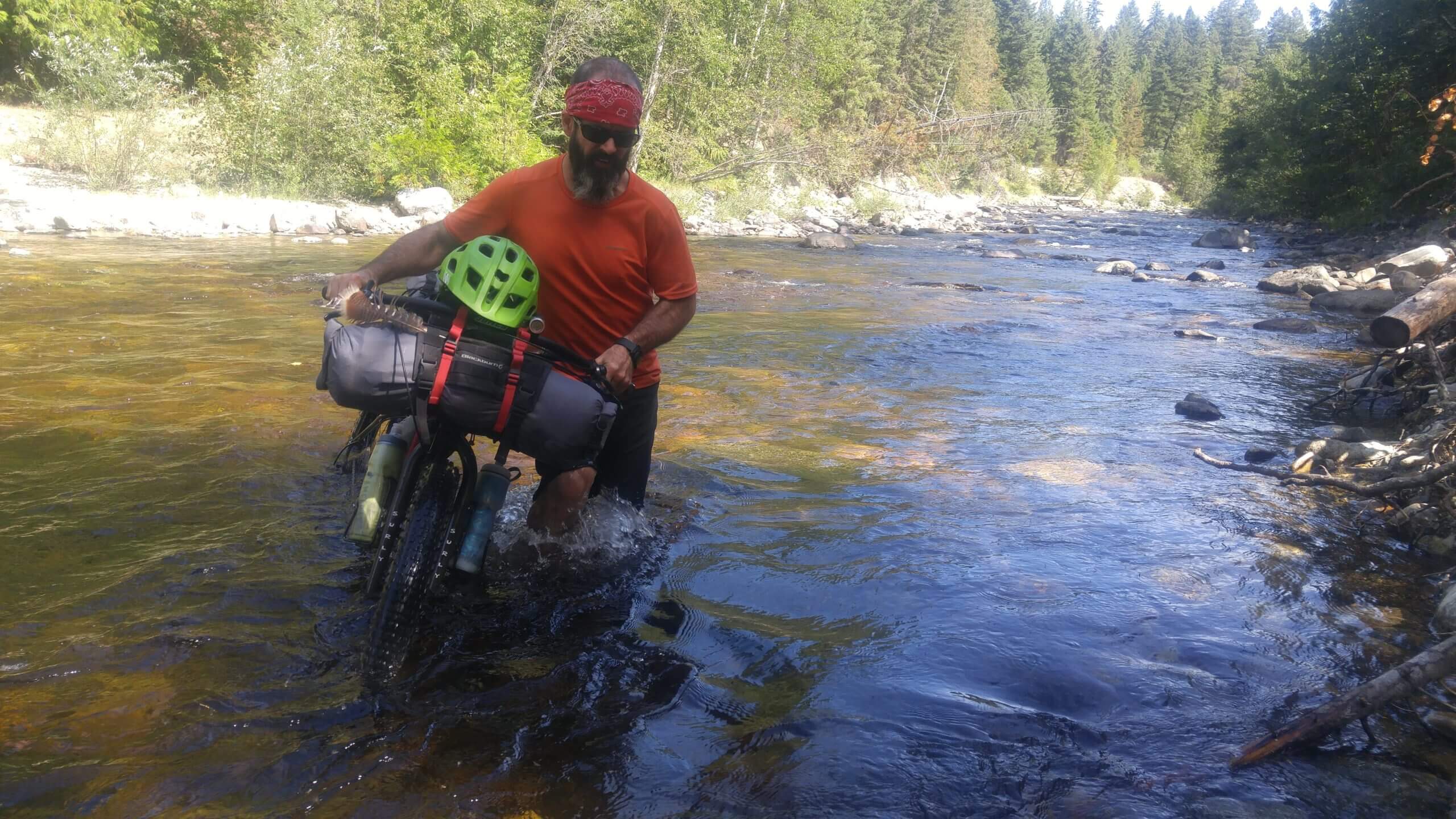
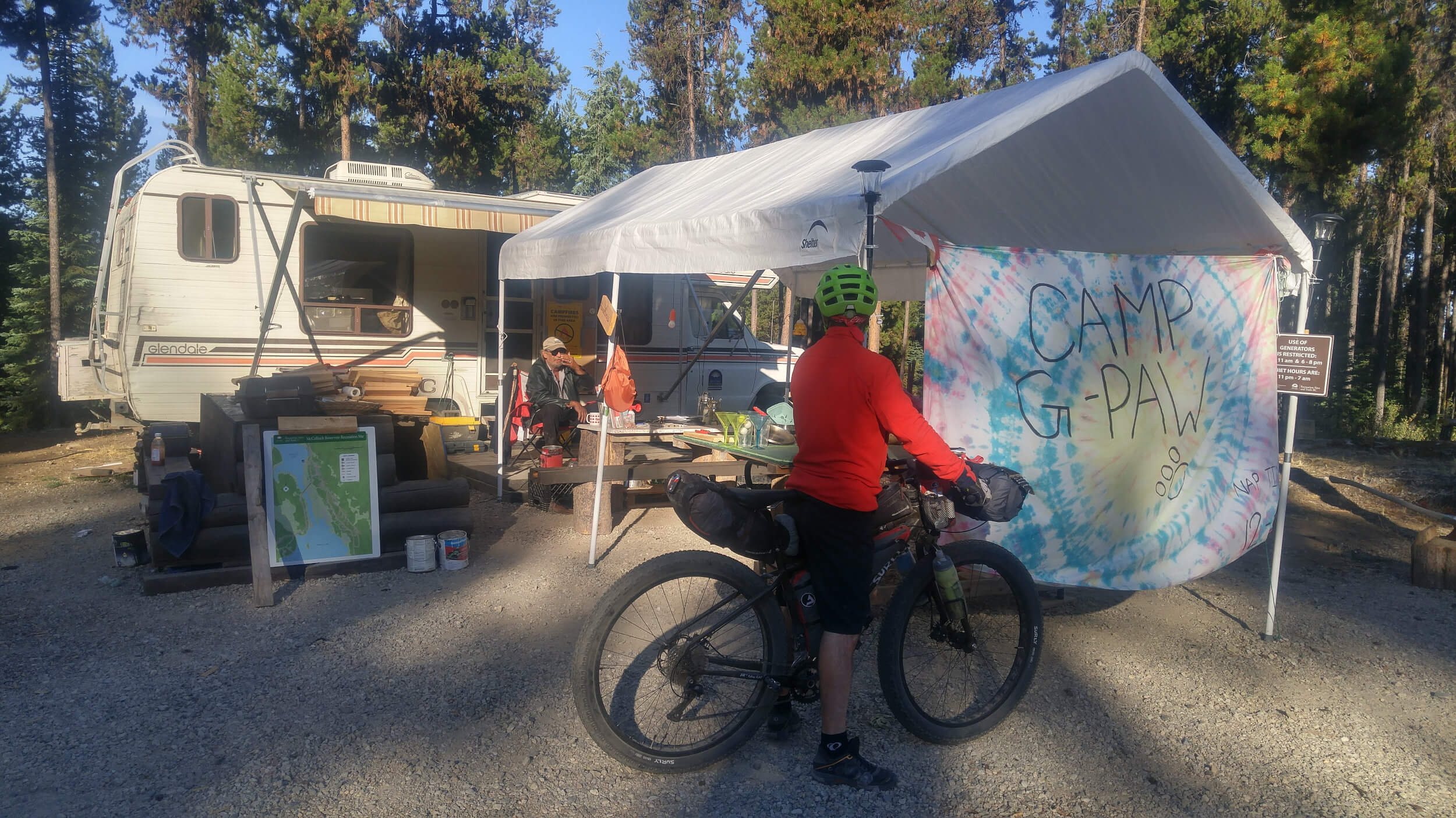
We enjoyed some waffles and espresso at the Beaver Lake Resort and got some local intel and took a non-motorized route that starts at the resort. It pays to talk to the locals! We meandered our way down Hwy 33 and got onto a part of the High Rim Trail which is totally ride-able; it’s basically an old wagon road that hooks up with the Kettle Valley Rail Trail. The warning here is there is a creek to cross after crossing the highway and climbing the fence. There is no bridge at this point to cross the river. It was totally passable in late August but could be a huge challenge earlier in the summer when the water is pushing a little harder. We were up to thighs in water. I would say it is class 1-2 on the whitewater scale during high water. We made our way to the McCulloch Reservoir recreation site which is a hosted site and costs $12/night. The host was awesome and let us fill our water bottles from his trailer.
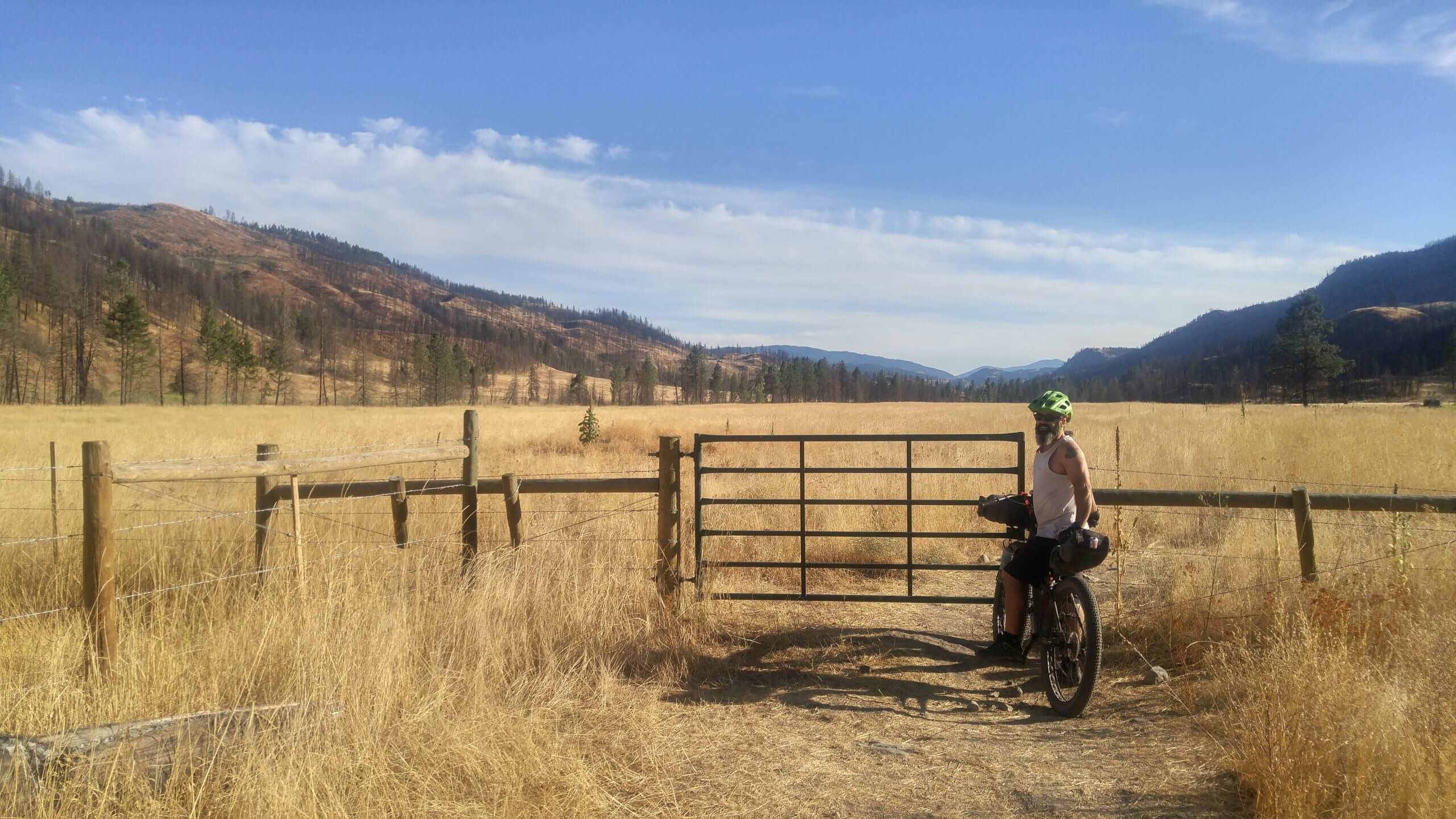
From McCulloch Reservoir recreation site the route basically stays on the Kettle Valley Rail Trail for the next 145km. So the riding is easy but very dusty. It’s a beautiful ride with re-supply in Beaverdell at the General Store. You’ll also find Marley’s which serves up pizza, smokies and ice cream. A good spot to recharge electronics while stuffing your face. Along the way a stop at Arlington Lakes to take in the wilderness and beauty is recommended. It’s a nice spot to camp if you end up here. Again a hosted site at $12/night. From Arlington Lakes it’s a relaxing pedal to the Kettle River Recreation area. You’ll notice the change from forest to more range land. A huge fire went through this area in 2017 and the forest is slowly coming back. Kettle River Recreation area is paid camping. They have hot showers and an outdoor dishwashing area.
In Rock Creek I recommend the Trading Post for coffee and breakfast. It’s a rustic little cafe with great food. From Rock Creek you’ll pedal your way to Midway which has a proper grocery store if you need to re-supply. We got bored of the flat rail trail and decided to go up and over to Grand Forks along the Norwegian Creek Road to McCarron Creek Road and finally to Gibbs Creek Road which spits you out onto highway 3 just above Grand Forks. Plenty of choices for food and re-supply in Grand Forks. The trail from Grand Forks is actually all new and partially paved. There are spots to wild camp but we pushed into the evening and got a motel room in Christina Lake.
Before leaving Christina Lake be sure to pop into Lisa’s Lakeside Bistro. Great breakfast and coffee before you start your climb up Santa Rosa Rd also known as the Old Rossland Cascade Hwy which will get you very close the US/Canada border at one point and spit you out in Rossland. We made Rossland a mandatory stop to camp and drink at the Rossland Beer Company. Great beer and lots of places to eat and re-supply if necessary.
Before the final stretch from Rossland to Nelson the Alpine Grind Coffeehouse is a recommended stop. From here it’s a nice descent into Trail another place to grab some food if necessary. From Trail you actually ride a portion of the BC Epic trail back to Castlegar along the Columbia River. It’s a beautiful ride. There are trails (Skattebo Reach and Ward’s Ferry Trails) on the East side of the river from Castlegar but it is designated a hiking trail is is pretty rough in sections and is ride-able. I would suggest the highway from Castlegar to at least Shoreacres where you can take Blewett Road into Nelson for a quieter more rural ride. There is a bit of a grind uphill at 49er creek on Blewett Road. Or you can just take the highway into town like we did for a faster ride.
Route Development
This route was developed using various sources and contacts. The main focus was to have the route start and end in Nelson, British Columbia. It could start and end on any part of the route and there are many variations that can be used depending on navigation skills. Many hours were spent pouring over digital data from Trailforks, BC Data Catalogue, Backroads Mapbook and Google Earth. The route was created in QGIS and then was uploaded to Ride with GPS for further planning. The route was ridden entirely on the first attempt with the Backroads Mapbook app for navigation. Part of the route was scratched as the original section planned through the Monashees to Cherryville was overgrown and impassable; an error in the Backroads Mapbook data. We hope to work with BC Recreation Sites and Trails and local tourism operators to clear the route originally planned sometime in the future to increase the unpaved percentage. Due to the impassable section the route dropped to 77% unpaved. The higher rating is due to the two grueling climbs that may pose an issue to some riders.
Photo Gallery

Map and GPX
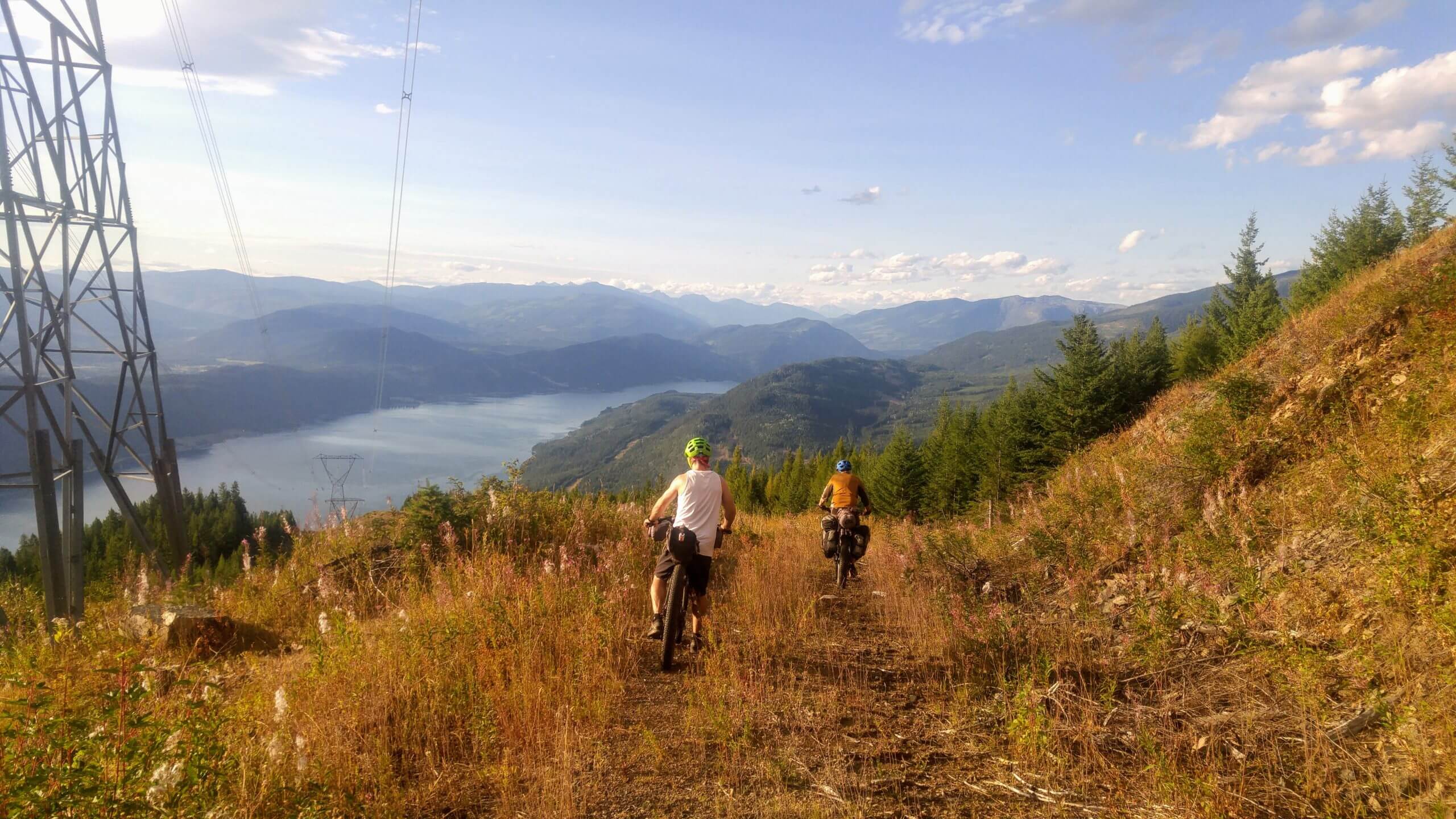
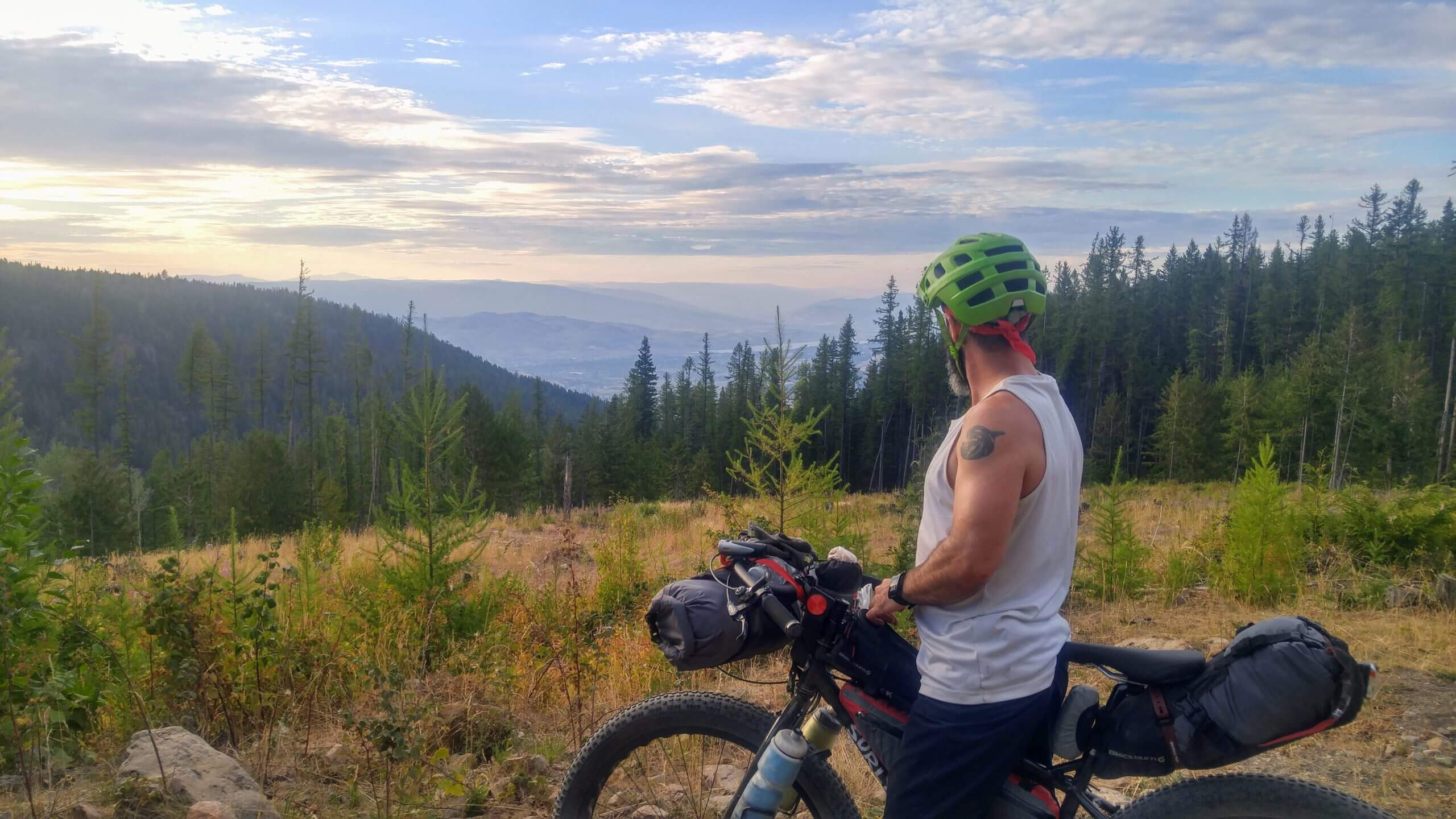
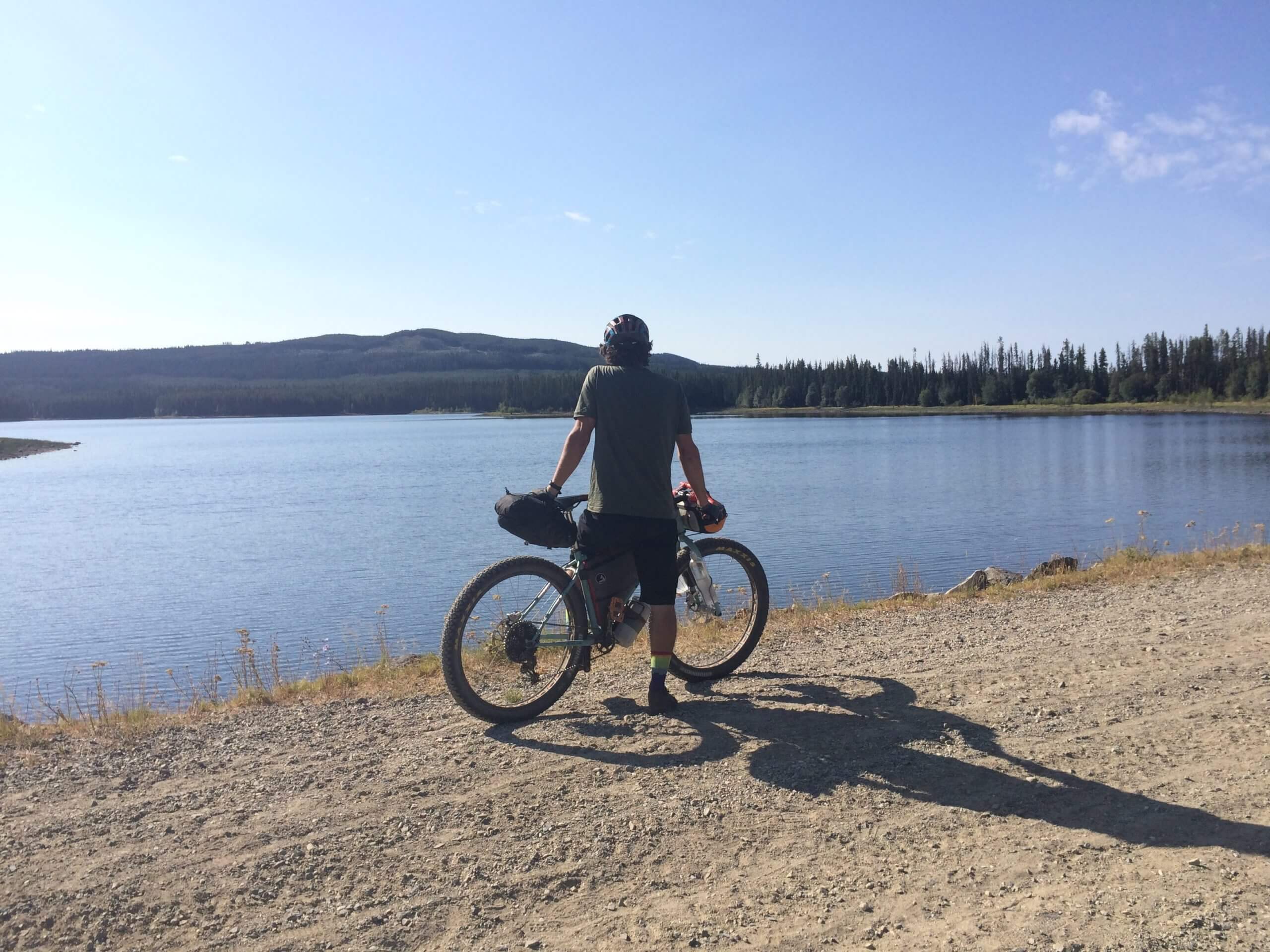
- View of Arrow Lake and surrounding peaks from the top of the Valhallas
- Descent from the top of the Valhallas. Enjoy it, you earned it.
- High Rim Trail
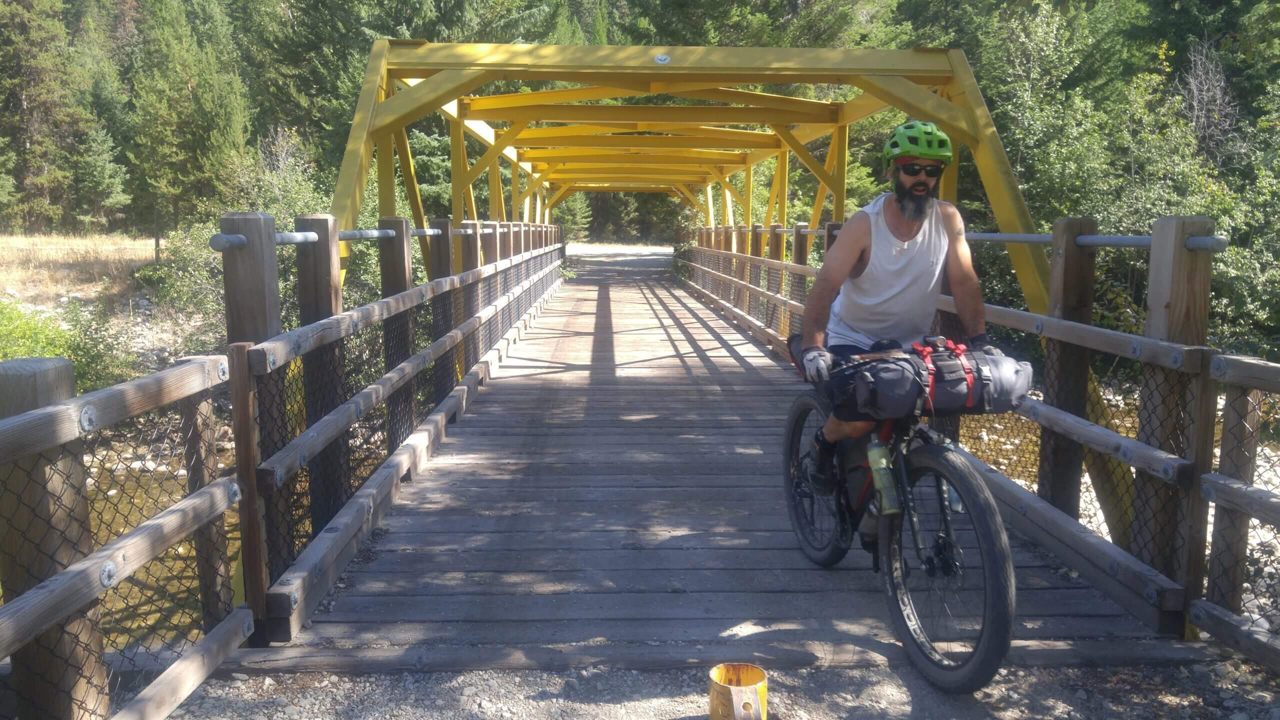
- Kettle Valley Rail Trail
- View of Arrow Lake and surrounding peaks from the top of the Valhallas
- Descent from the top of the Valhallas. Enjoy it, you earned it.
- Very long push-a-bike section up the Valahallas along a primitive hydro line access road. Water is limited on this climb in August.
- Long sustained climb up King George FSR. Water is limited on this climb in August.
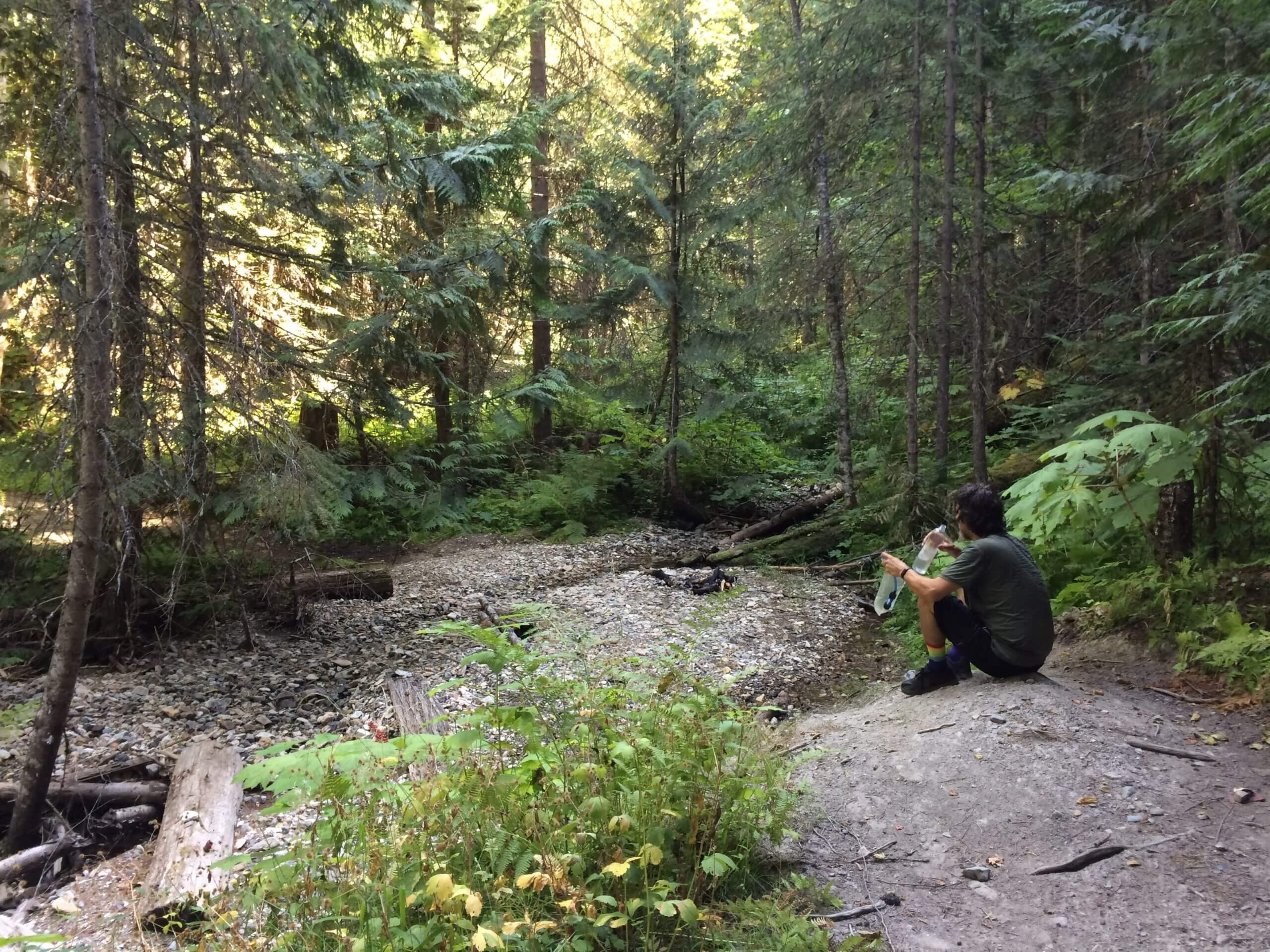
- Lack of clean water sources on the Highlands Plateau in the Okanagan.
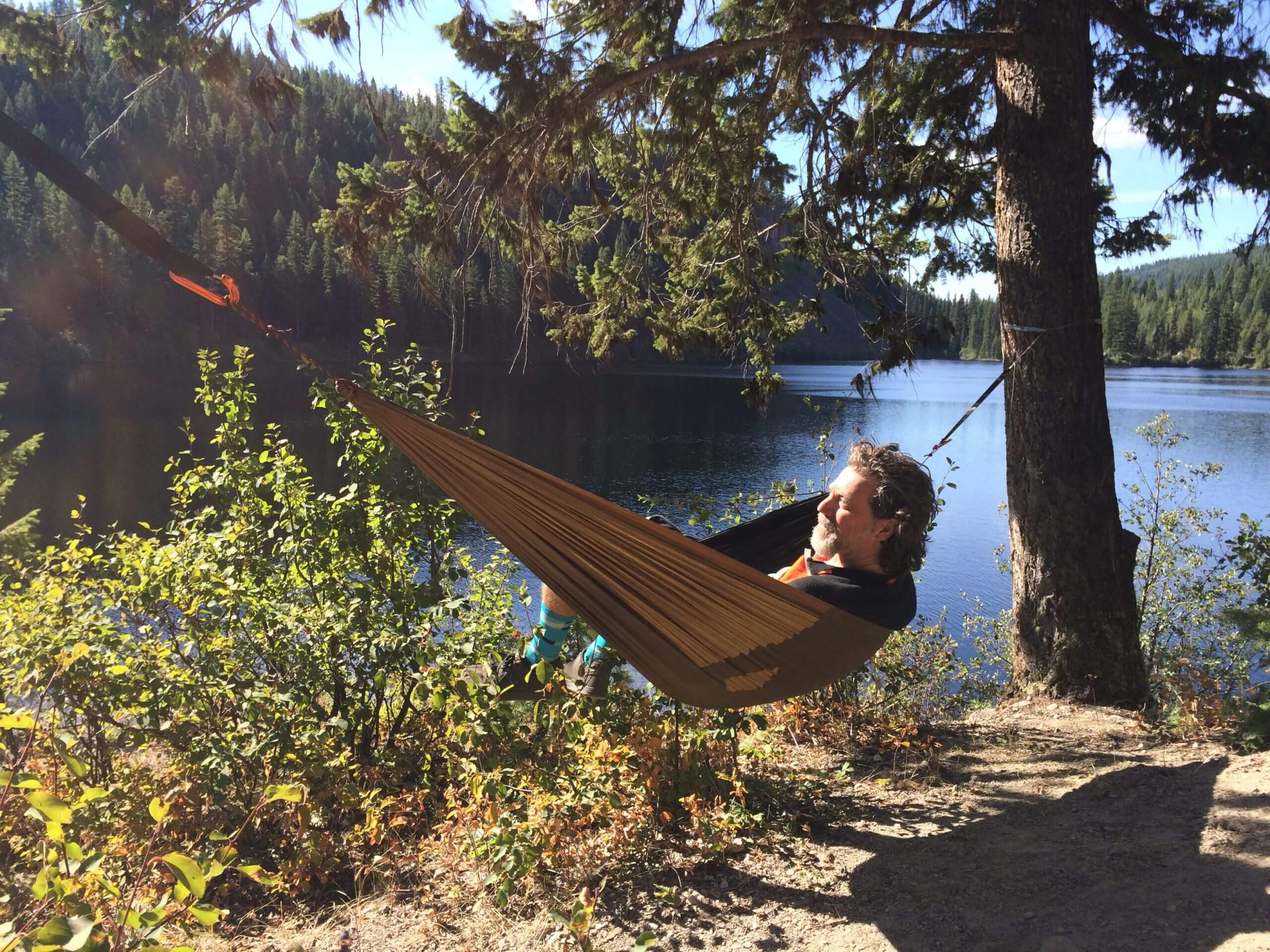
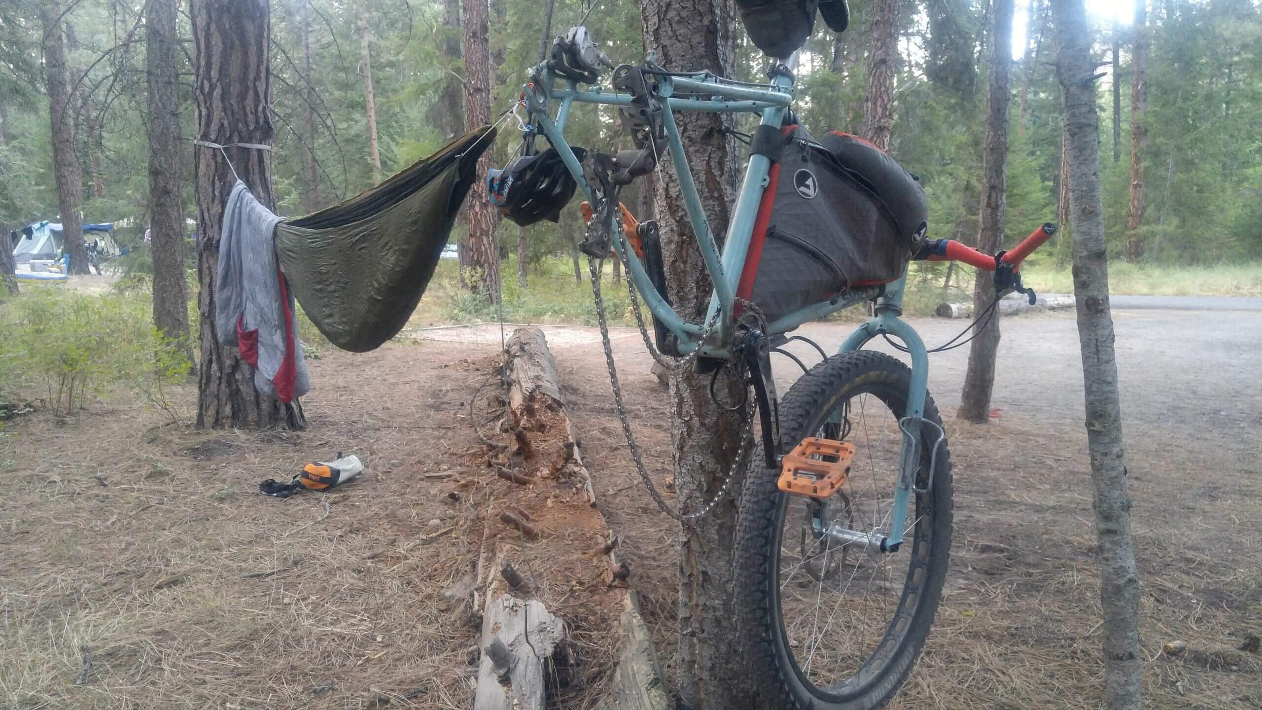
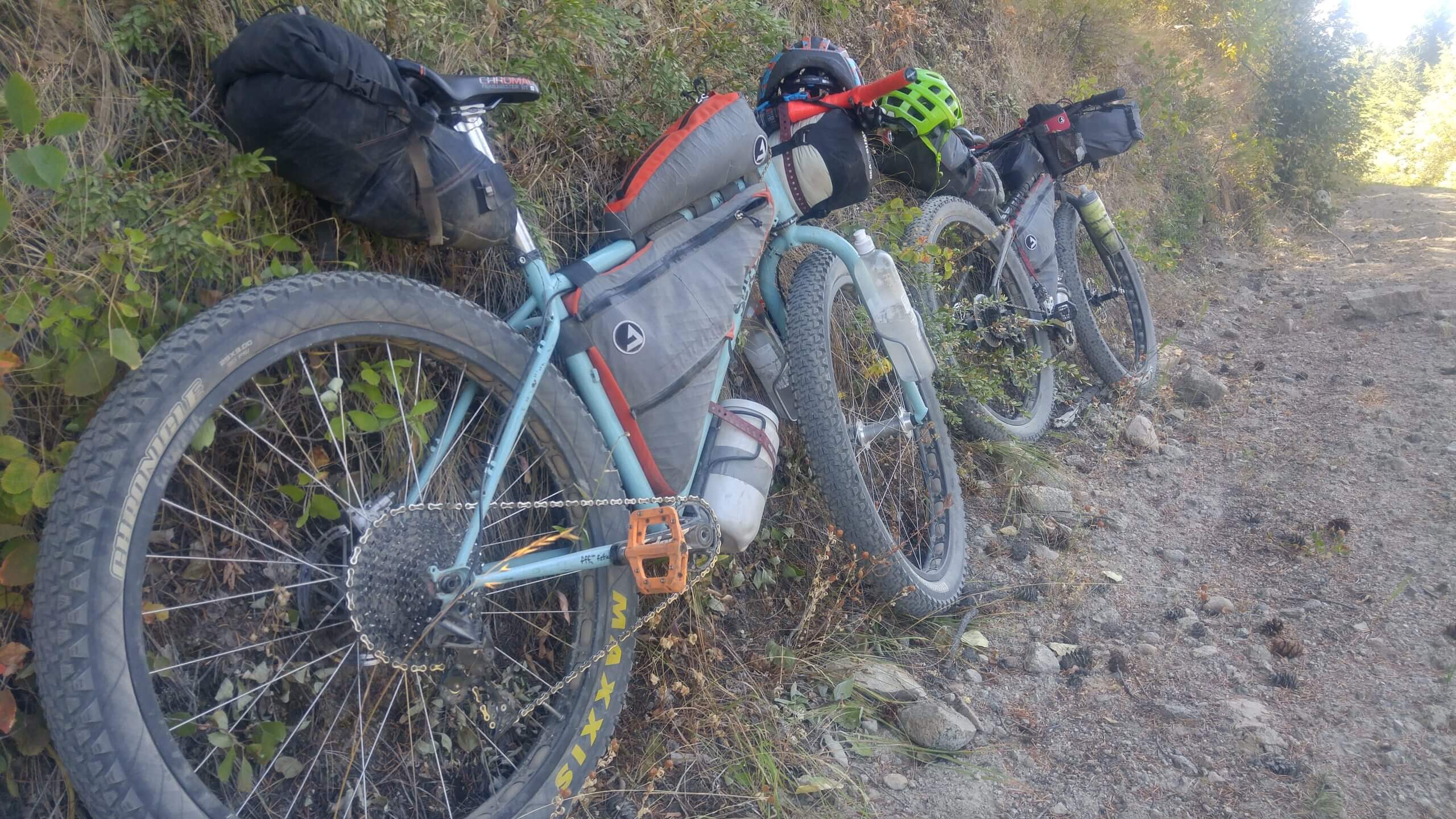
- There are no shortages of wild, free (user maintained) and paid camp sites along the route. There are many options depending on how your day is going.
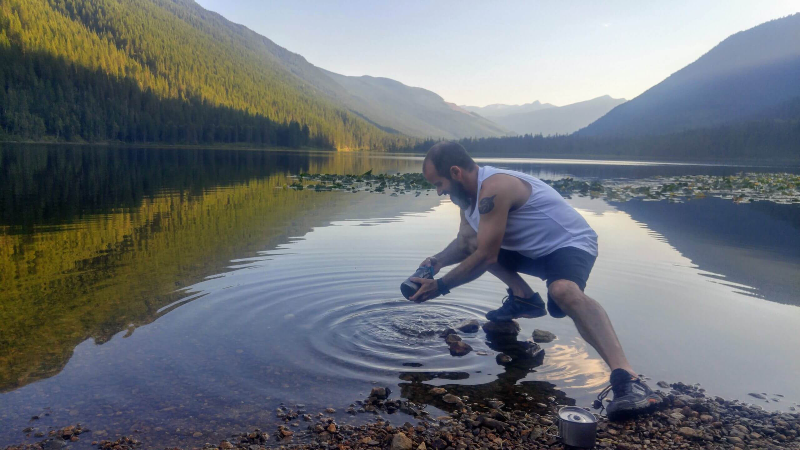
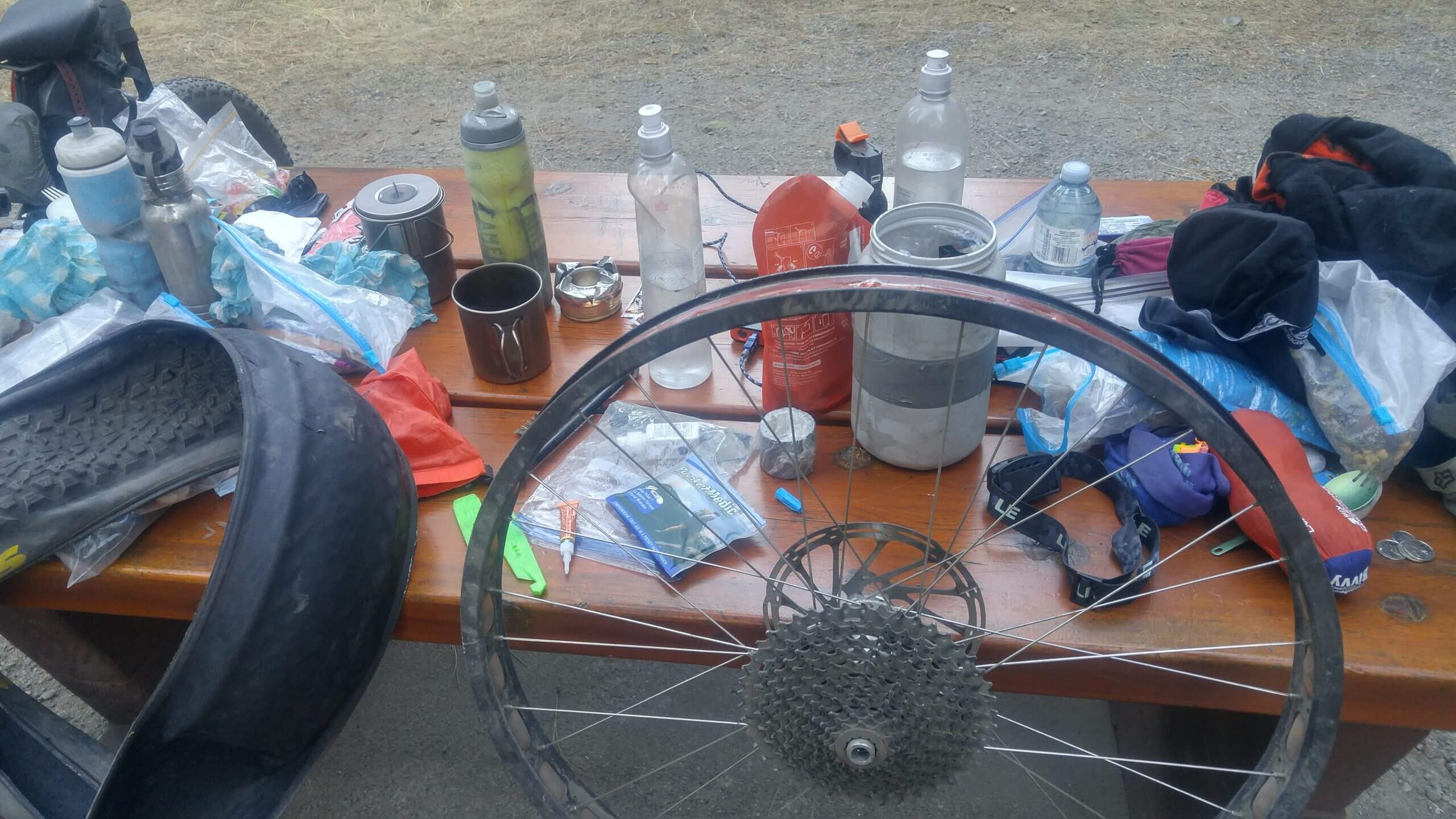
- From Nelson to Cherryville water is not an issue and flows freely and cleanly from mountain streams. Once in the Okanagan on the Highlands Plateau water becomes a little more scarce during the summer months and is dirty and stagnant. Best to have a proper Sawyer filter and water purification tabs. A UV-light purifier won’t cut it here.
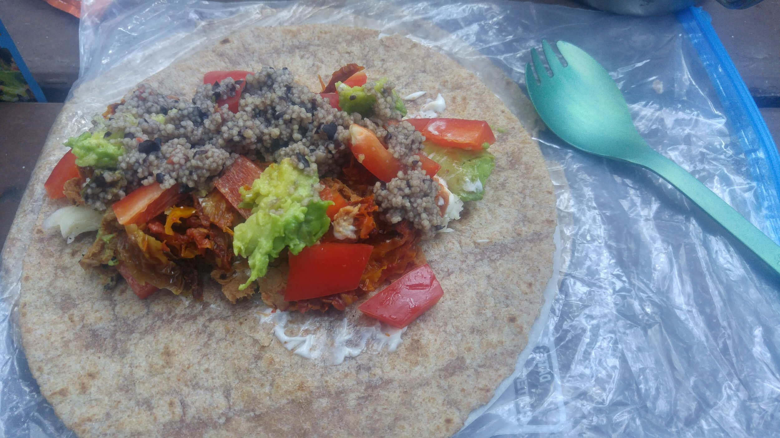
- There are ample resupply opportunities. The longest without a resupply point is about two days. Make sure you always have 2-3 days worth of food.
- Pressurized fuel canisters were non-existent at shops when this trail was ridden. Therefore it is strongly suggested to pack a 450Ml pressurized canister or opt for white gas or methyl hydrate stoves as these fuels are readily available at hardware stores along the route.
- The creek crossing when coming down from the Highlands Plateau across Hwy 33 is passable in mid to late August. If riding the route earlier in the season the creek may be impassable. The creek would be rated class 1-2 on the international scale of river difficulty. Do not attempt if the river is high. An alternate route along Hwy 33 South is possible. This will of course mean less dirt on the route.
Terms of Use: As with each bikepacking route guide published on ROADSAREFORWIMPS.com, should you choose to cycle this route, do so at your own risk. Prior to setting out check current local weather, conditions, and land/road closures. While riding, obey all public and private land use restrictions and rules, carry proper safety and navigational equipment, and of course, follow the Leave No Trace guidelines. The information found herein is simply a planning resource to be used as a point of inspiration in conjunction with your own due-diligence. In spite of the fact that this route, associated GPS track (GPX and maps), and all route guidelines were prepared under diligent research by the specified contributor and/or contributors, the accuracy of such and judgement of the author is not guaranteed. ROADSAREFORWIMPS.com, its partners, associates, and contributors are in no way liable for personal injury, damage to personal property, or any other such situation that might happen to individual riders cycling or following this route.