172 KM
5
1-2
98 %
53 %
3480 M
30 %
1350 M
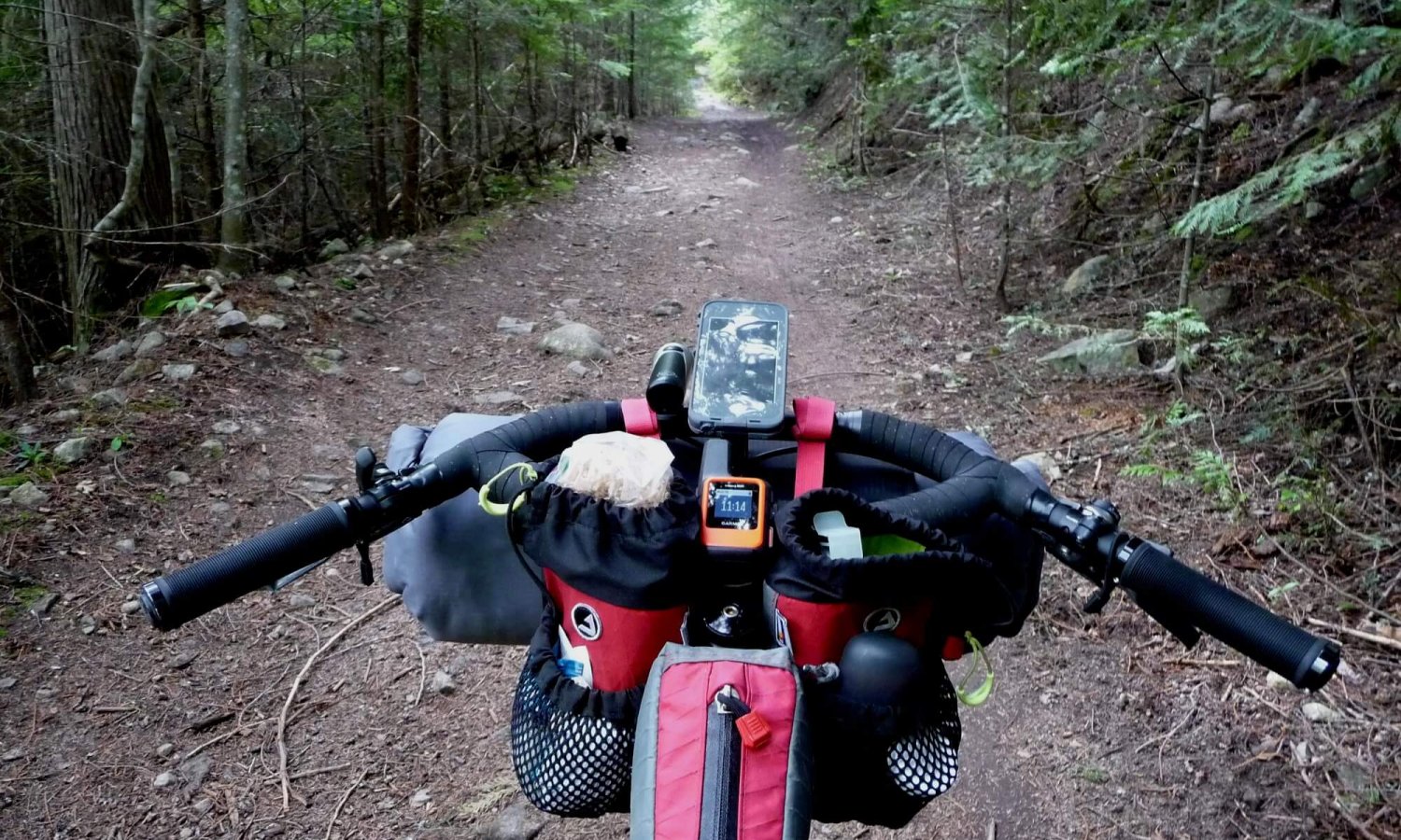
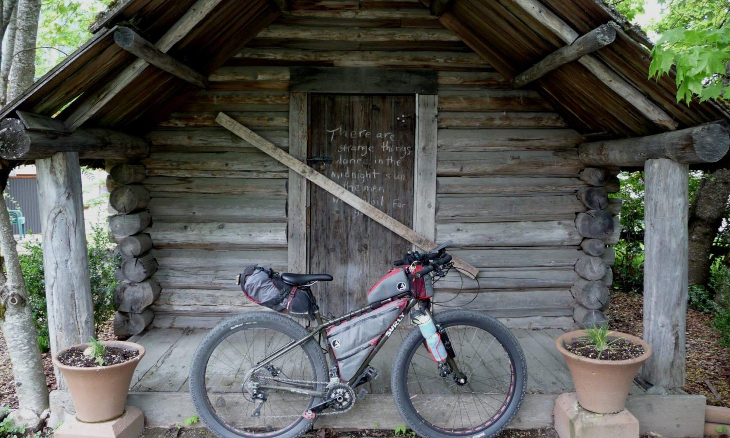
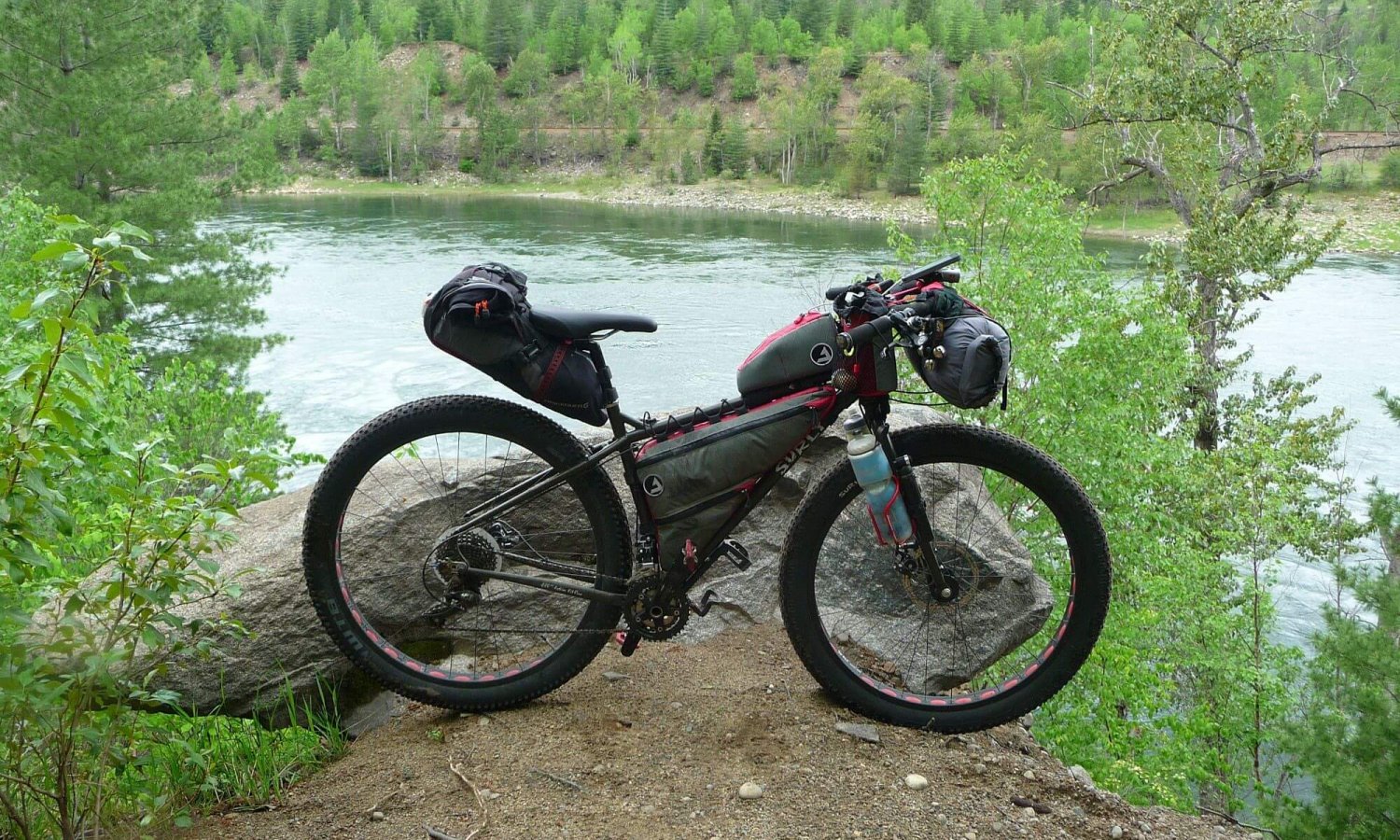
I’d been riding portions of this trail for the past few years and decided to ride it in one go and connect the sections I had ridden. This is a fun loop linking together different trails in the West Kootenays; The Great Northern Rail Trail, The Columbia River Trail, Skattebo Reach Trail, Ward’s Ferry Trail and the Morning Mountain trail system using Bottoms up and Fairly High to complete the loop. It has a nice mix of single track, double track, gravel and the inevitable bit of pavement.
The Great Northern Trail
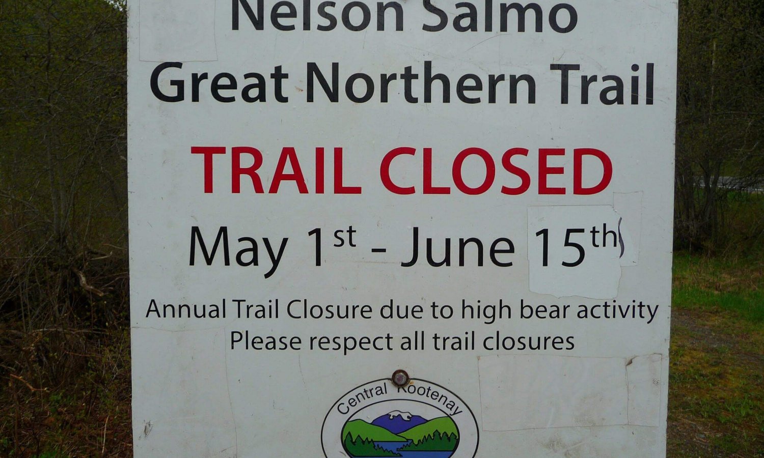
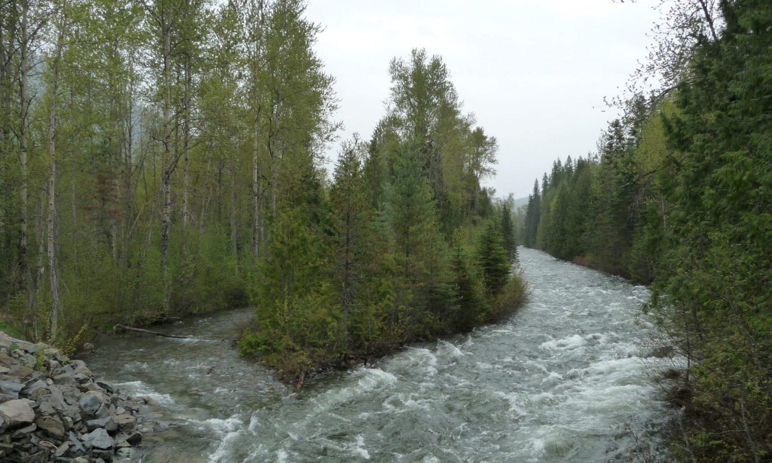
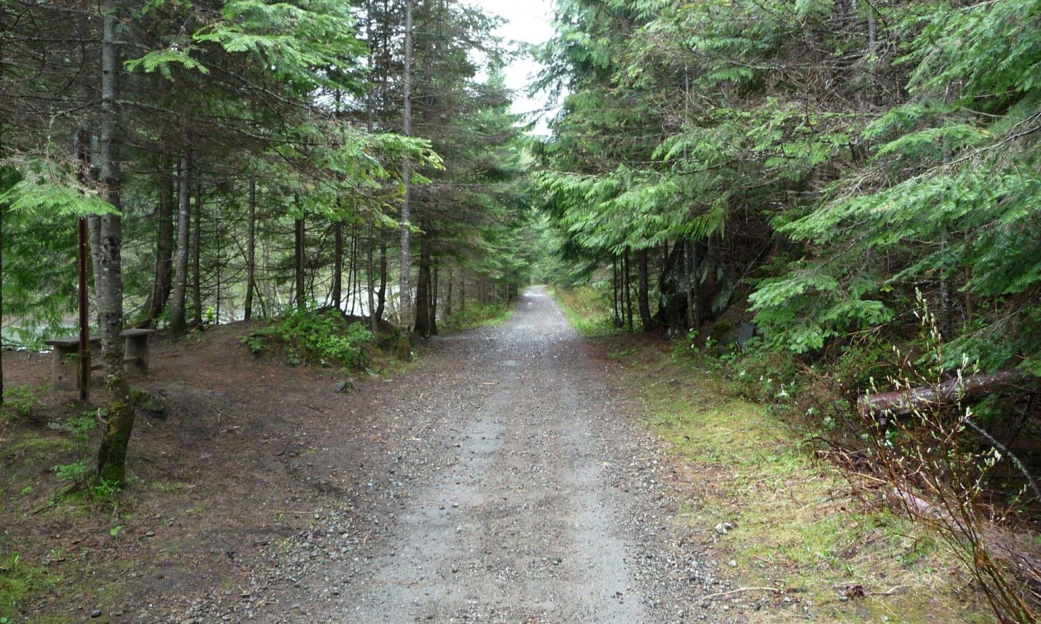
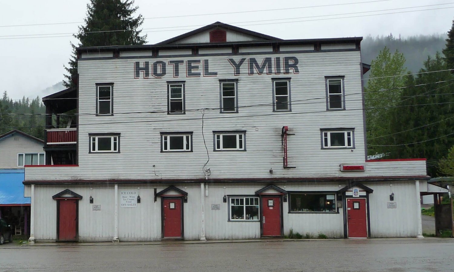
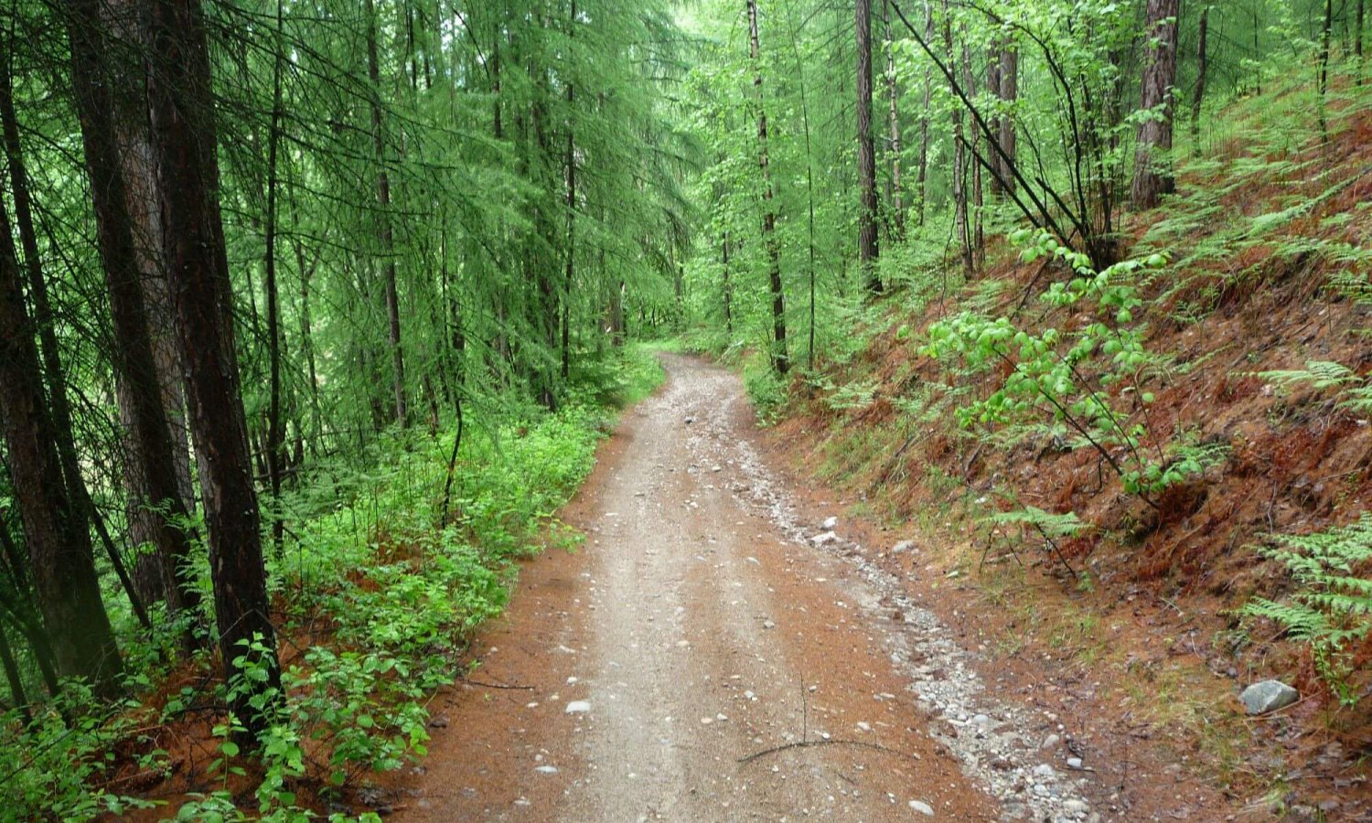
The route starts at the end of Silver King road and travels on a portion of the Great Trail. Take note of the up track on Fairly High; this will be where the trail ends too. The ride up along the old mining trail is a nice double track until it reaches Giveout FSR where it descends towards the Northern Rail Trail which is also part of the BC Epic 1000. As a matter of fact most of this route is the same as the BC Epic 1000 but in reverse. Continue on the Northern Rail Trail to Salmo. It will wind through Ymir which has a hotel/restaurant and a great little general store. Hours can be funky so check out their facebook page for the latest updates. The trail South of Ymir was washed out at the time of this writing. The locals didn’t like this and created a detour around the washout so there is no need to leave the trail. Alternately this route can start on the Great Northern trail from either the Svoboda Road or Mountain Station parking lots in Nelson.
From Salmo there is a bit of riding on Highway 3 (Crowsnest Pass). Keep an eye out for Erie-Ross Spur Road after the Erie Lake rest area. This is a much nicer and scenic ride than staying on the highway. It will meet up with Highway 3B and a short distance later make a left on Old Salmo Road. This will eventually transition into Columbia Gardens Road. This is a nice rural ride with some good views until reaching Highway 22A. The route then meanders along the Columbia River through Trail to get to Sunningdale where the Columbia River Trail starts.
The Columbia River Trail
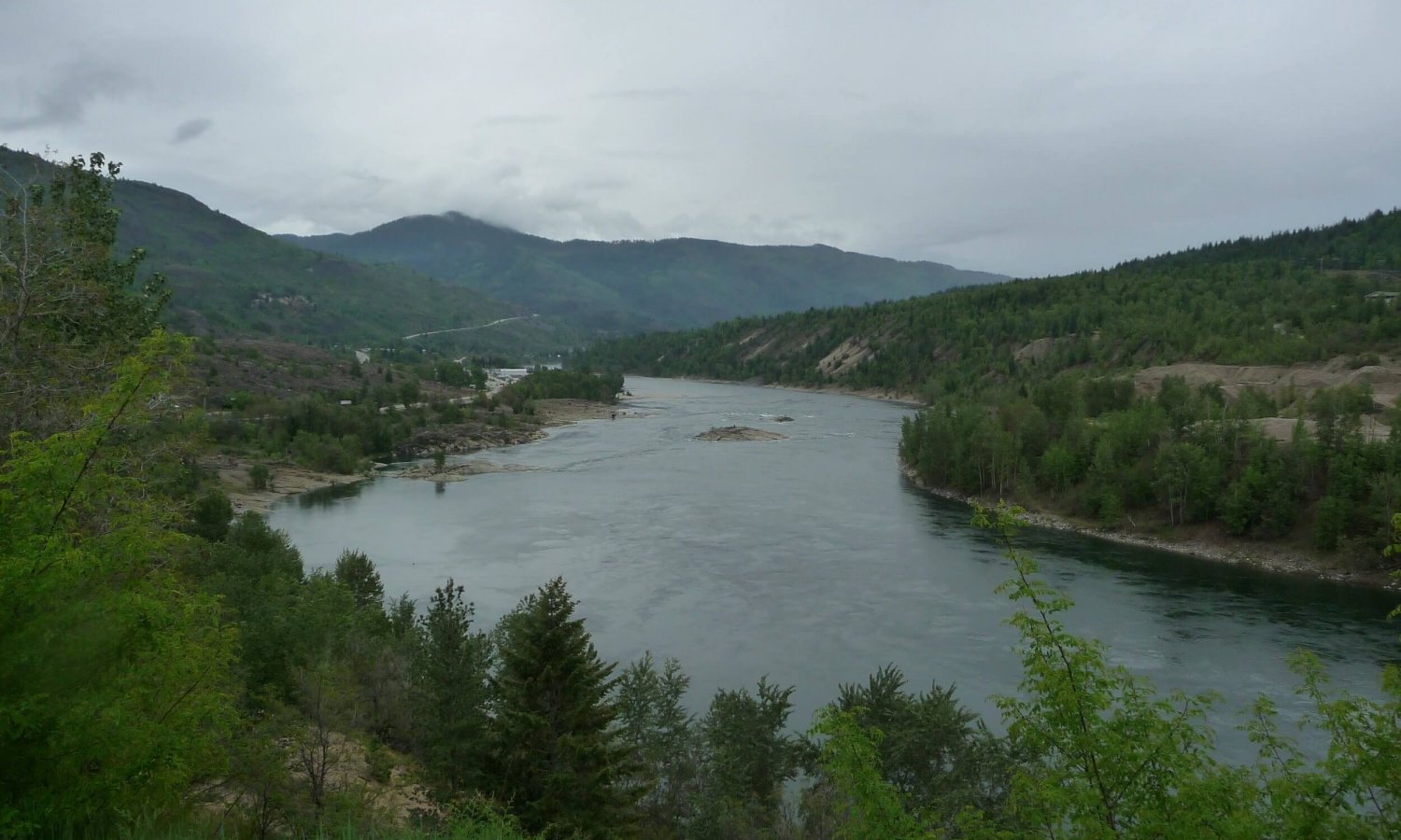
This trail has some technical riding and push-a-bike sections. Lot’s of spots to stop and enjoy a snack and take a swim or just enjoy the river passing by. This trail is about 15km and will eventually give way to paved roads again through the small community of Ooteschenia. If you think that sounds Russian you are correct. This area was home to the Doukhobors who were fleeing persecution in Russia in the early 1900’s. This trail was likely used by the Sinixt people before colonization as the Sinixt traditional territory included parts of Washington state where the Colville Tribe Reservation is located along the Columbia River. Due to colonization and the Indian Act the Sinixt were declared extinct in Canada during the 1950’s. The Sinixt are not extinct in Canada. They are very much here and won a legal victory in the Supreme Court of Canada in 2019 thereby extinguishing their extinct status after 70 years.
The route will follow some roads just south of the West Kootenay Regional Airport through Ootischenia up to the start of the Skattebo Reach Trail just above the Brilliant Dam. It is possible to start this trail off the highway below Brilliant Dam however the trail society requests that anyone on bikes start further down the trail because of some of the sensitive trail closer to the dam. Hence skipping that first part of the trail.
Skattebo Reach Trail
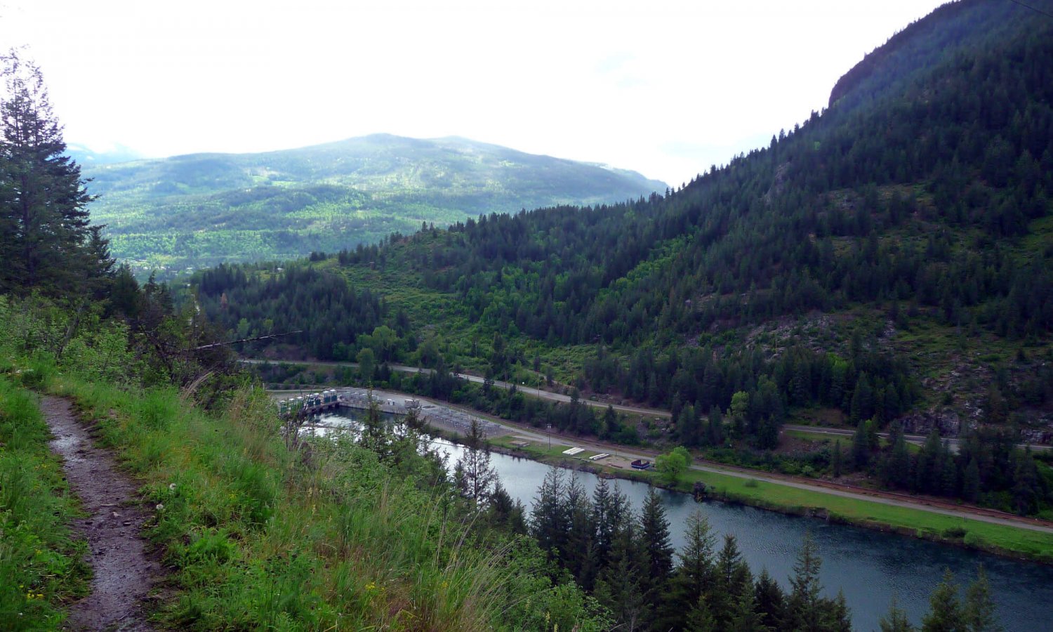
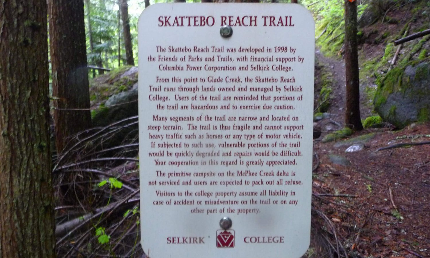
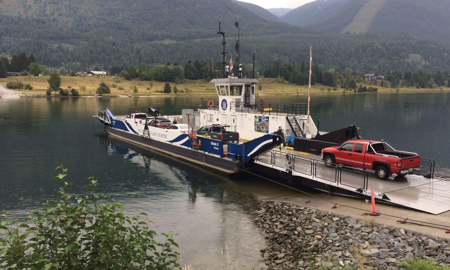
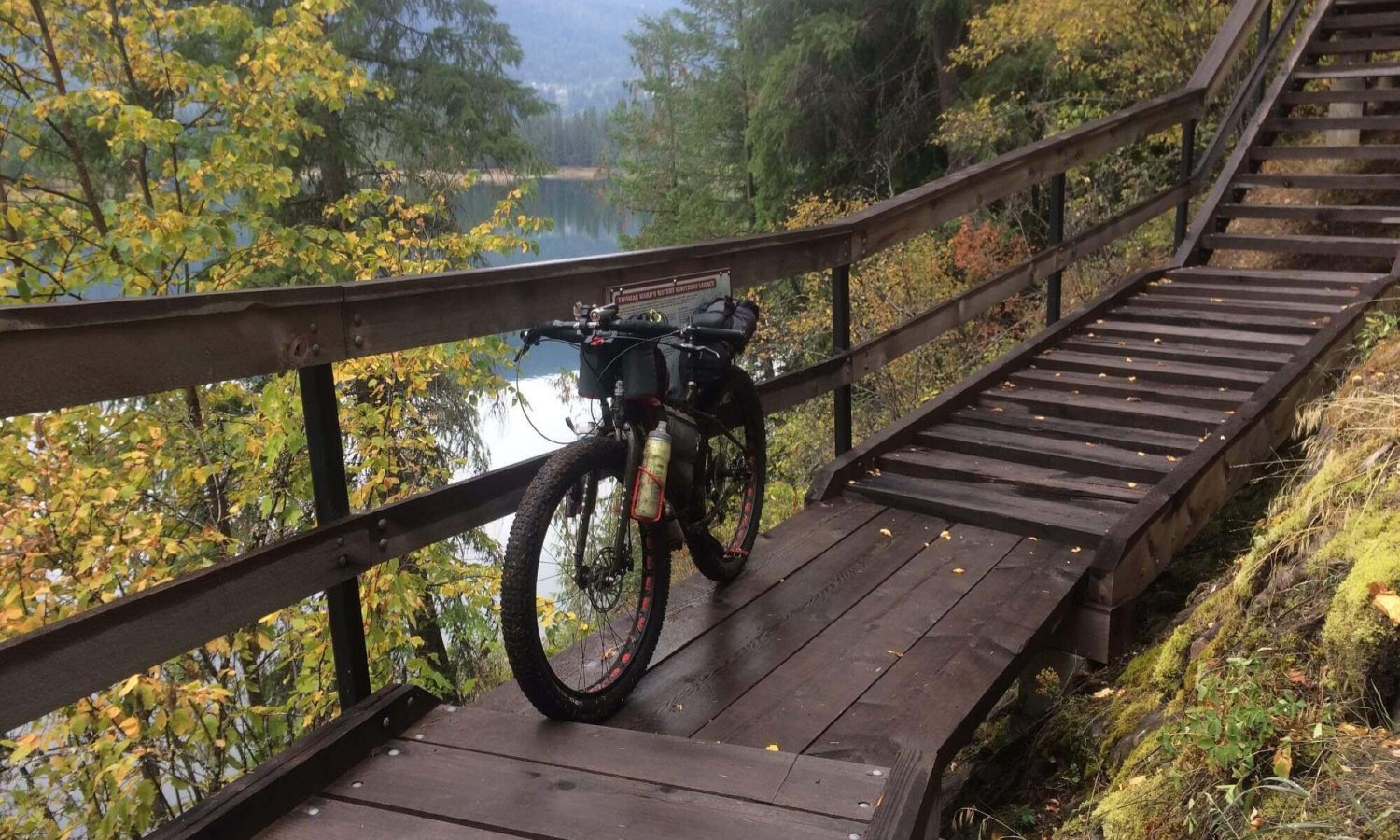
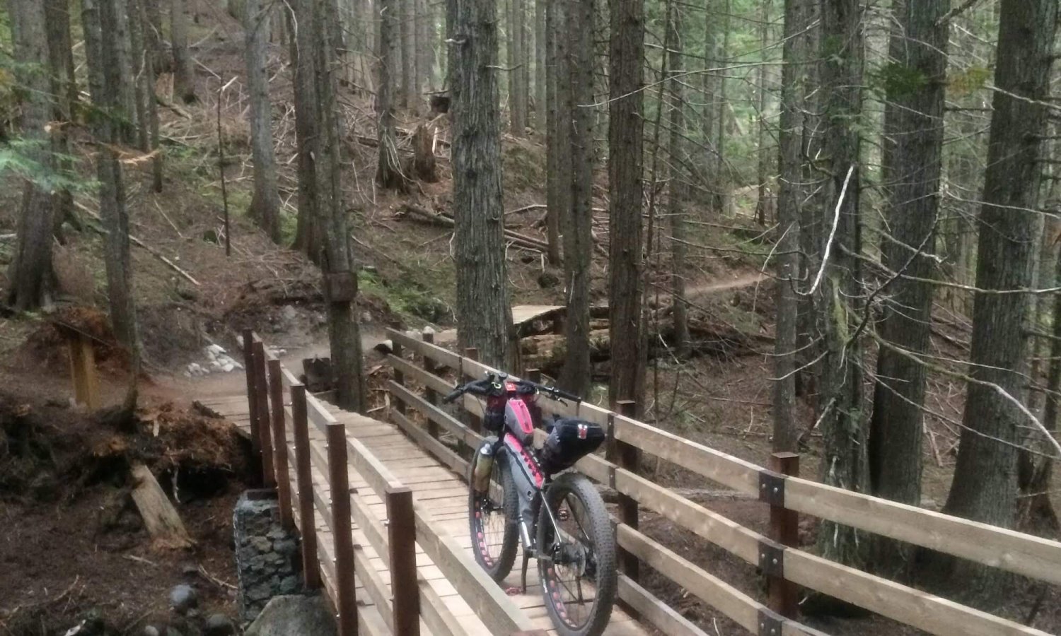
The trailhead is pretty well marked near a power station. This trail is not the first choice for biking and will likely be the most challenging part of this route due to fallen trees and some sections that need to be push-a-bike and carry-a-bike. It is strongly suggested to give yourself more time on this trail as strong cycling skills are needed for some sections. As the trail reaches the opening along the side of the mountain it provides great views of the river and the Brilliant dam. The drop is steep and is can be dangerous if not paying close attention. The trail then descends to lower elevation along the river and has some beautiful creek crossings. Bears do frequent this corridor so if traveling solo let them know you’re there. There are opportunities for wild camping; please respect the area as most of it is on private land. After approximately 10km of trail it will exit into the small community of Glade. There are no services in Glade. However if you need a snack or supplies take the Glade ferry and there is the Glade Esso which has a convenience store with deli sandwiches, some baked good and single bevies.
Ward’s Ferry Trail
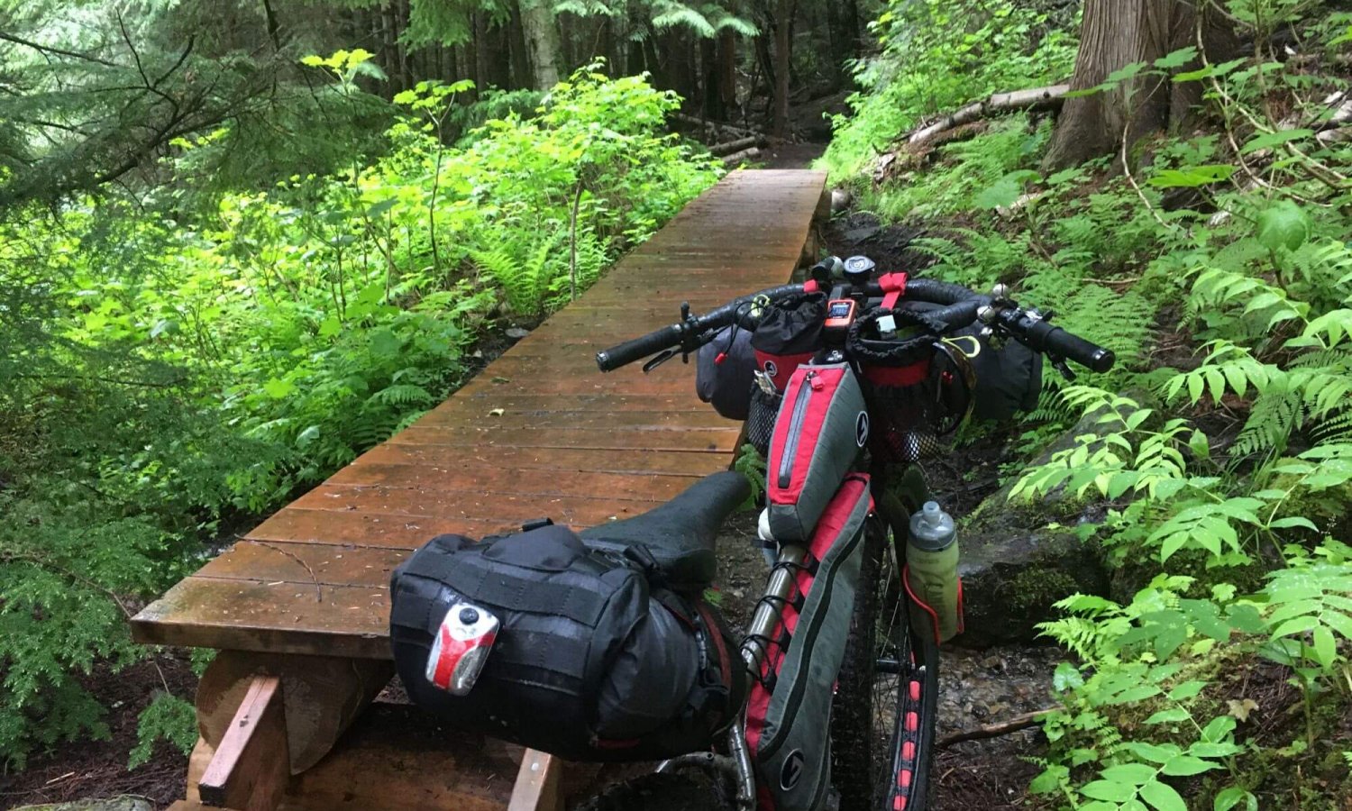
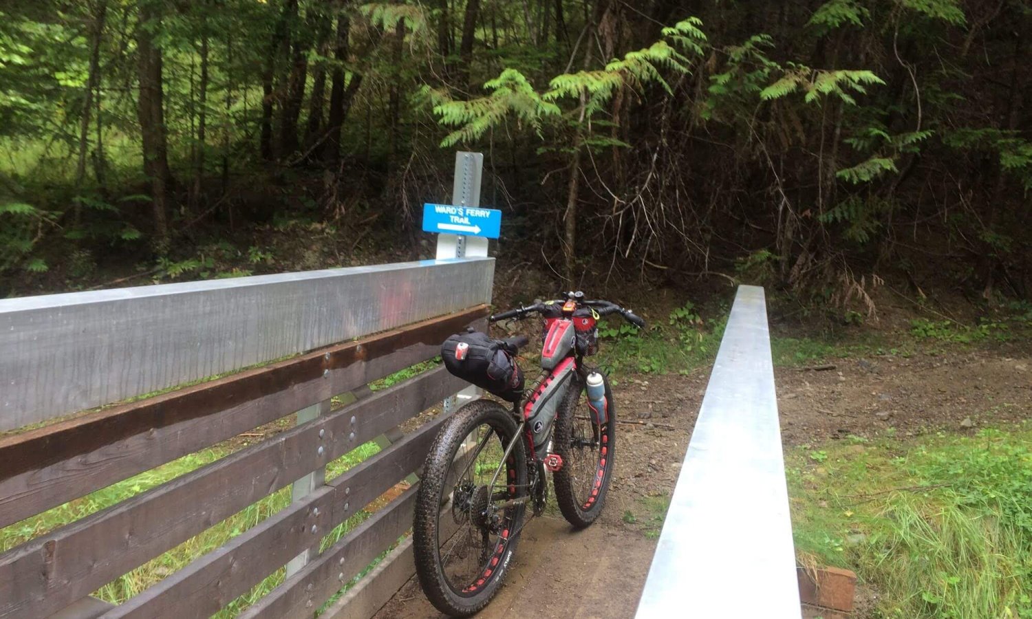
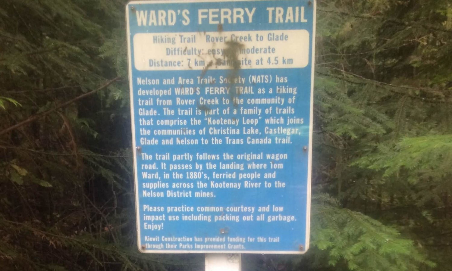
Continue cycling through Glade. It’s pretty difficult to get lost here. On the East side of Glade you’ll come to the trailhead for Ward’s Ferry Trail. The trail is listed as a hiking trail and there will be some push-a-bike sections that are just too rough and steep for riding. Don’t let that deter you though. It is a beautiful trail and has some mining history attached to it and is only 10km. There is a flat primitive campsite on this route that I missed when I initially rode this although I had no need to camp this close to home. It is an option for anyone riding this trail. It is approximately 1.8km from the trailhead if riding towards Nelson. The trail will start to climb about 5.5km into the ride. At the end of the trail it will intersect with Rover Creek FSR.
Morning Mountain
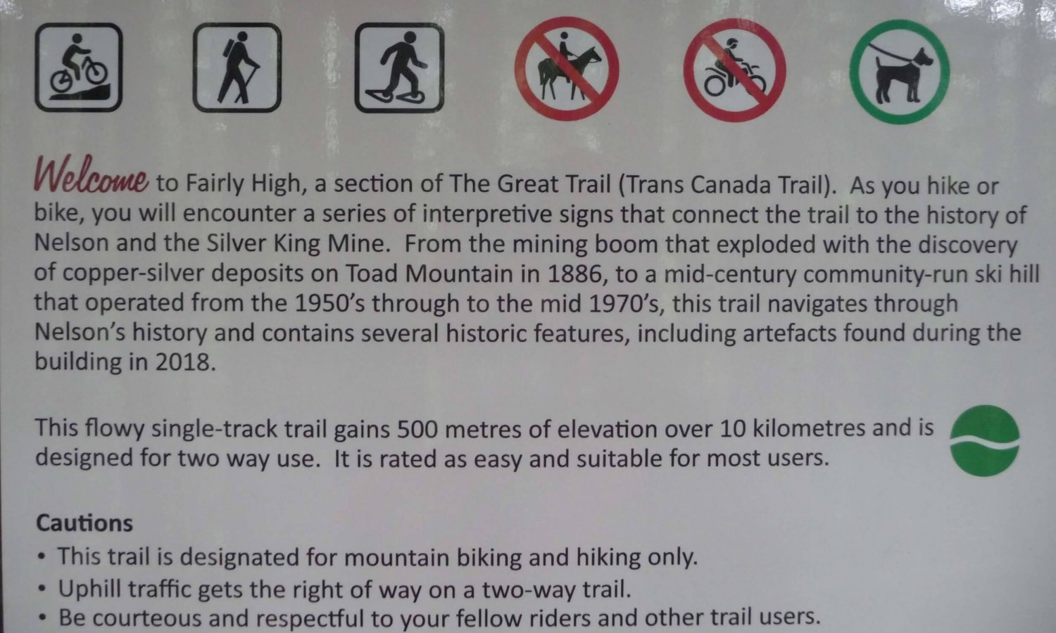
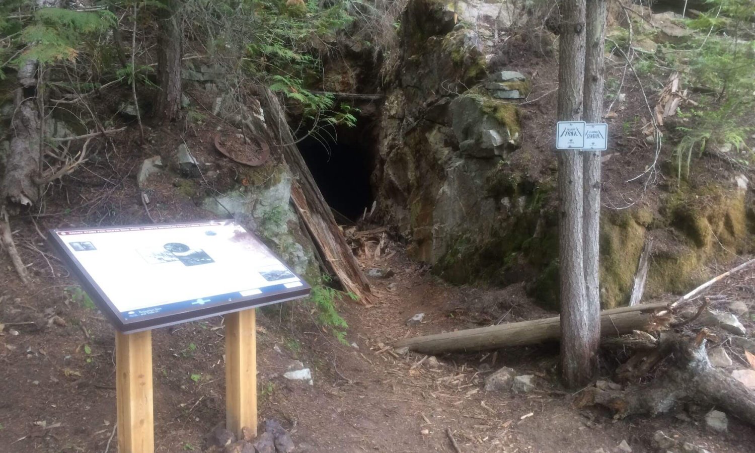
Follow the Rover Creek FSR for a about 1km and it will meet up with Blewett road. Hang a right on Blewett Road and follow it for about 8km to Granite Road. Hang another right onto Granite and a few hundred meters down Granite Road there will be a sign for Morning Mountain. Locate Bottoms Up and enjoy the beautiful climb. The trail hugs the mountain through some cedar forest until it meets up with Giveout Creek FSR. This is your reward; Fairly High! It is one of the smoothest flowy trails in Nelson. Along the way there will be some old mining relics. Stop. Read the signs. Learn a bit of the history of this beautiful spot. Be careful with speed as it is also an up track. The up track has the right-of-way.
Camping in Nelson
That is a little info on the various parts of the route. This route is great for early season while there is still snow on the mountain passes. If staying in Nelson there is a campground right in Nelson or head out to Kokanee Creek Provincial Park to rest and enjoy an evening in the area. It is highly recommended to book ahead of time to ensure a spot. They are busy campgrounds. Kokanee Creek Provincial Park has online booking system and the City of Nelson Campground can be contacted via email (campground@nelson.ca) or call them at 250-352-7618. Either way spend a bit of time in Nelson checking out some of the cool murals, shops, restaurants and micro-brews.
Photo Gallery
Map and GPX
- Single track at Morning Mountain which leads onto Fairly High which provides a great view of Nelson on the descent which is a nice way to end the route.
- Historical relics on the lower portion of Fairly High reminding trail users of Nelson’s mining history.
- Most of the land between Trail and Nelson via Castlegar is private land. Some is privately owned by individuals and other parcels are owned by corporations. It is suggested to ride this entire section without overnight camping although there are some opportunities for wild camping. Just don’t be surprised if the landowner asks you to move on.
- The Skattebo and Ward Ferry trails are part of the Great Trail. They are not necessarily cycling trails. However most of the trails are rideable for advanced riders. Be prepared to push/carry your bike for short sections.
- The Skattebo trail is not well maintained and there are trees across the trail after McPhee Creek heading East towards Glade making it a little difficult for a loaded bike. Give yourself a bit more time along this trail section.
- Beaver Creek Provincial Park is close to the halfway point if doing an over nighter.
- Along the Columbia, Skattebo and Ward Ferry Trails the majority of the land is private and there are plenty of signs to remind users of this fact. Use common sense and respect the trails.
- There are wild camping spots along the Columbia River Trail.
- Primitive campsite along the Ward Ferry Trail about 1.8km from Glade trailhead.
- Kokanee Creek Provincial Park.
- City of Nelson Campground
- Water is not an issue on this route as it follows the Columbia and Kootenay Rivers while crossing many creeks along the way.
- Plenty of opportunities to resupply with snacks and food on this route.
- This route can be ridden in one day for experienced riders. It is suggested to break it up into two days for less experienced cyclists.
- Please respect the private land along this route and the other trail users one may run into on your adventures.
- The suggested direction is Nelson, Salmo, Trail, Castlegar and back to Nelson. It can be done in either direction but riders might prefer the clockwise route due to some of the challenges on the Skattebo Reach trail and riding down Fairly High is much more fun than riding up!
Terms of Use: As with each bikepacking route guide published on ROADSAREFORWIMPS.com, should you choose to cycle this route, do so at your own risk. Prior to setting out check current local weather, conditions, and land/road closures. While riding, obey all public and private land use restrictions and rules, carry proper safety and navigational equipment, and of course, follow the #leavenotrace guidelines. The information found herein is simply a planning resource to be used as a point of inspiration in conjunction with your own due-diligence. In spite of the fact that this route, associated GPS track (GPX and maps), and all route guidelines were prepared under diligent research by the specified contributor and/or contributors, the accuracy of such and judgement of the author is not guaranteed. ROADSAREFORWIMPS.com, its partners, associates, and contributors are in no way liable for personal injury, damage to personal property, or any other such situation that might happen to individual riders cycling or following this route.
