200 KM
8
2
100 %
47 %
2305 M
0 %
2072 M
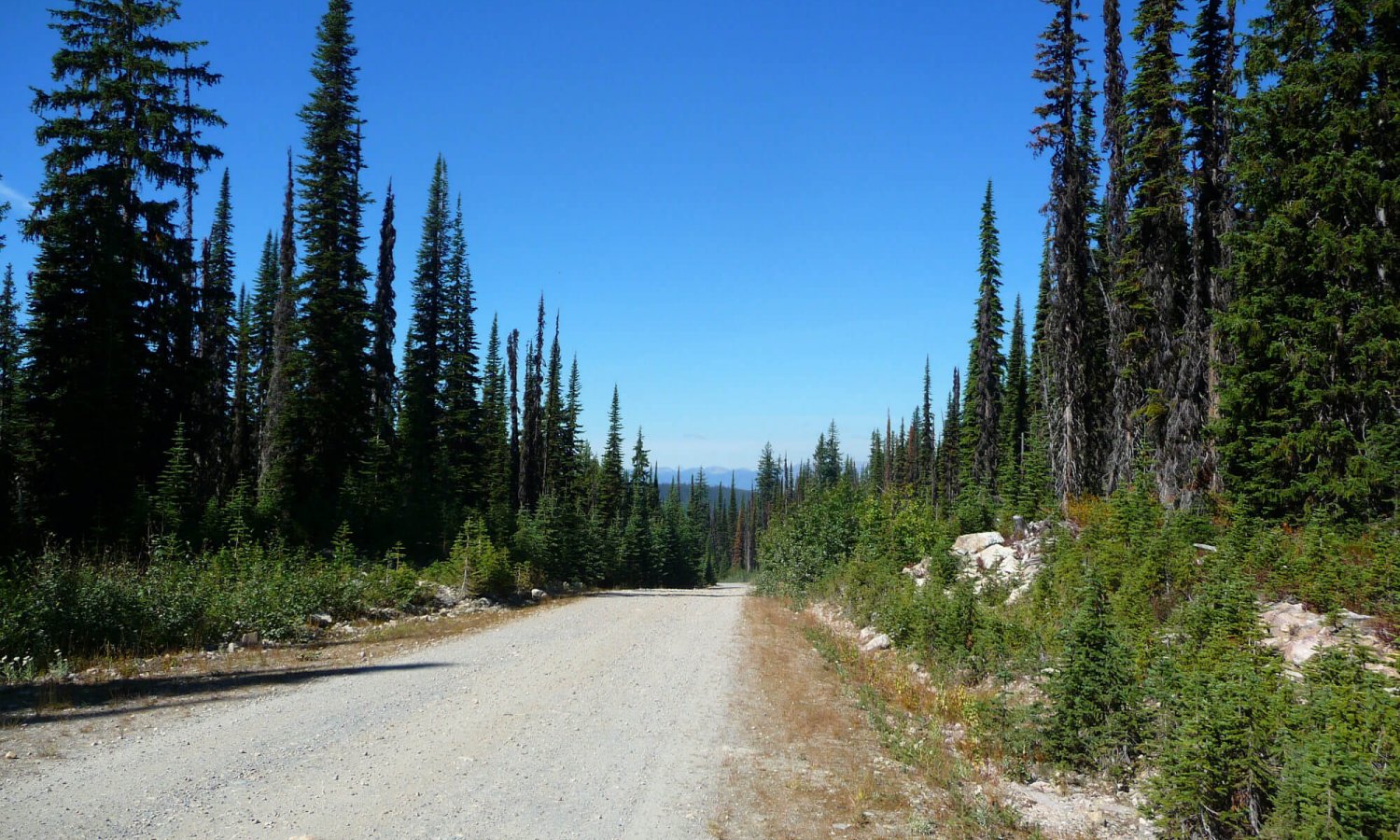
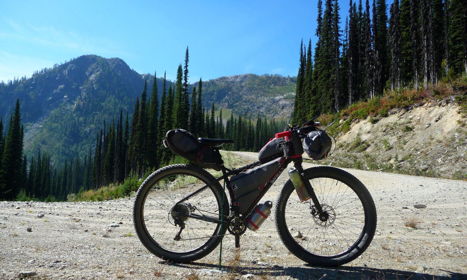
Gray Creek Pass is known to many bikepackers, moto enthusiasts, off road adventurers and hikers. It is part of the Great Trail and also part of the BC Epic 1000. Keeping with the times I decided that my adventures should be close to home for 2020. This was one of the last outings before we settled into fall.
I’ve never done the BC Epic. I am guessing Gray Creek Pass is one of the toughest sections. Riding the pass has been on my list for a couple of years now to get a taste before I eventually ride the BC Epic some day. My plans to ride Gray Creek Pass have been thwarted in the past due to wildfire or work conflicts and the short season to go over the top. Gray Creek Pass is also part of the Great Trail (formerly the Trans Canada Trail) and super popular with motosports enthusiasts too.
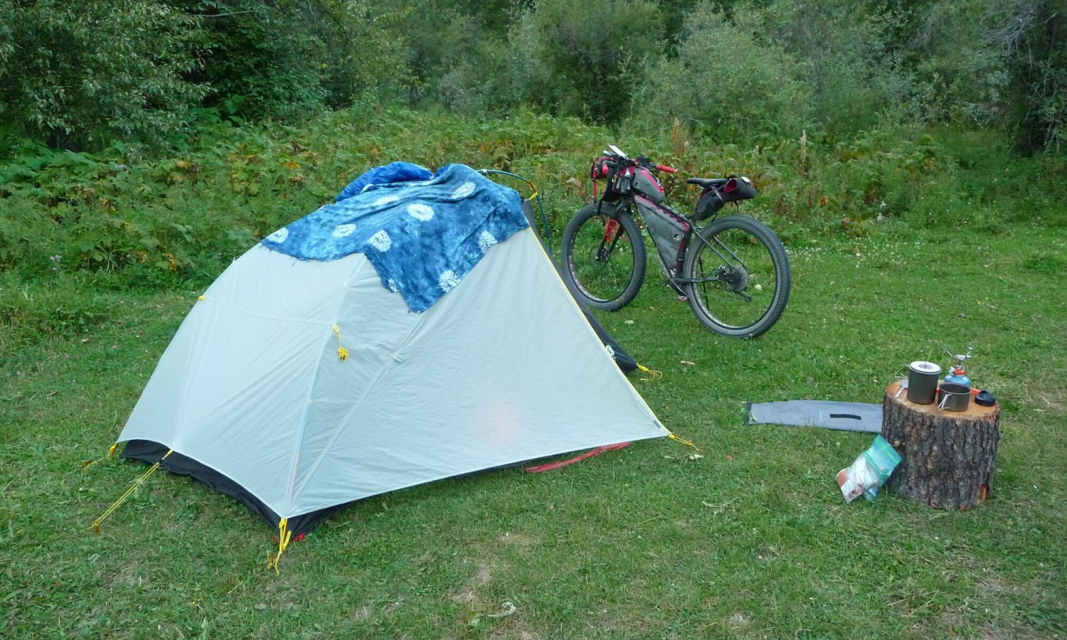
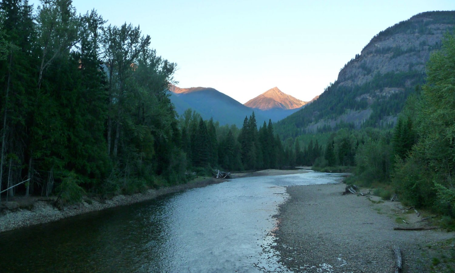
So in September of 2020 I decided I better get this one scratched off the list before we get our first snowfall as I didn’t want to carry unnecessary gear during the climb for cold weather. The goal was to get to Kimberley but when I found an epic campsite on the St Marys river I decided it wasn’t important to make it to Kimberley as I had sufficient supplies. Did I mention I was running out of day light? Yeah. That too.
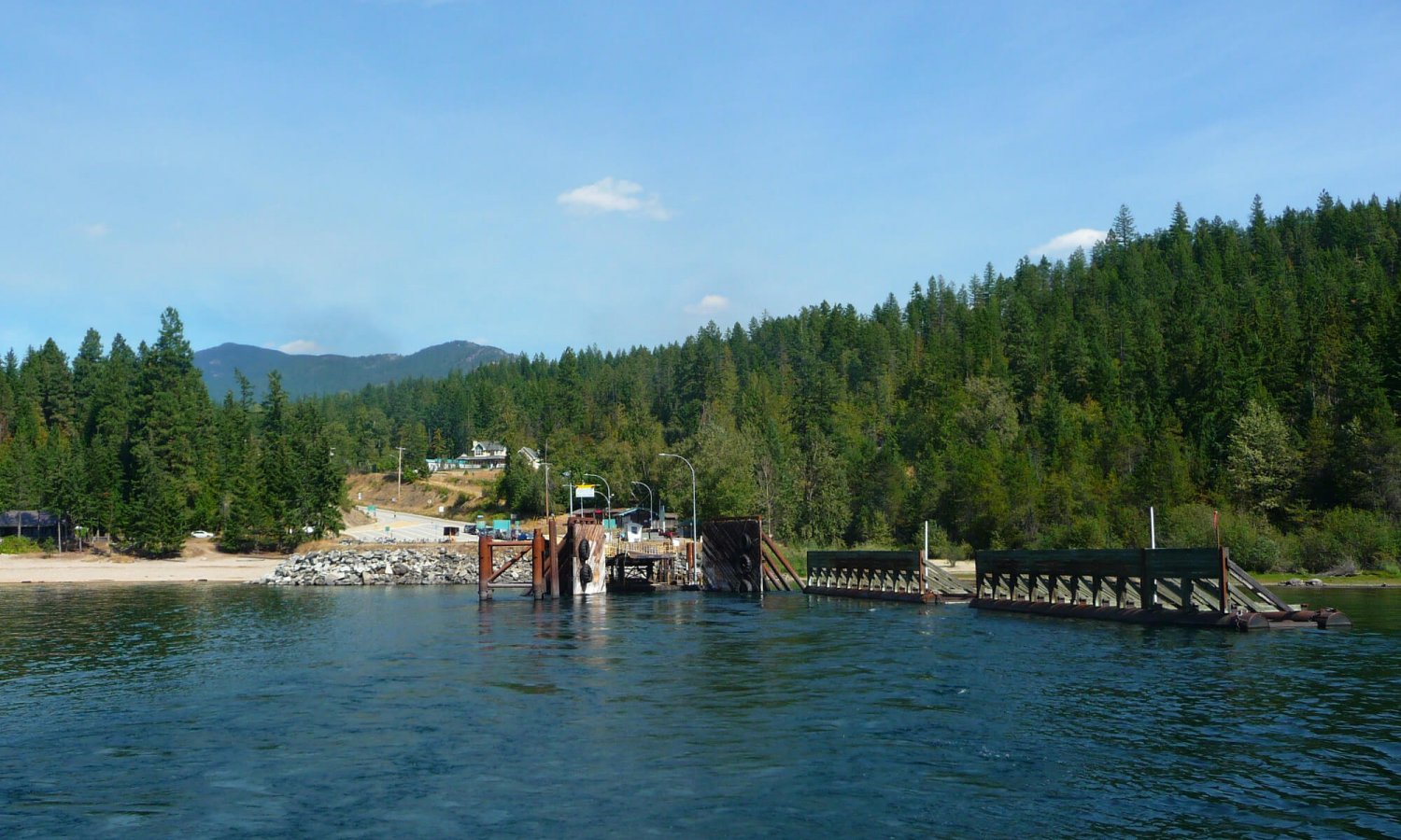
There is an option to park vehicles in a park and ride space at the ferry in Balfour if wanting to skip the highway from Nelson to the Ferry. I recommend the ride from Nelson as it is scenic and gets those muscles warmed up for a seriously long day climbing. For more information on this route see the BC Epic or Great Trail websites. The elevation gain listed is one way as the route is only showing a one way trip.
Photo Gallery
Map and GPX
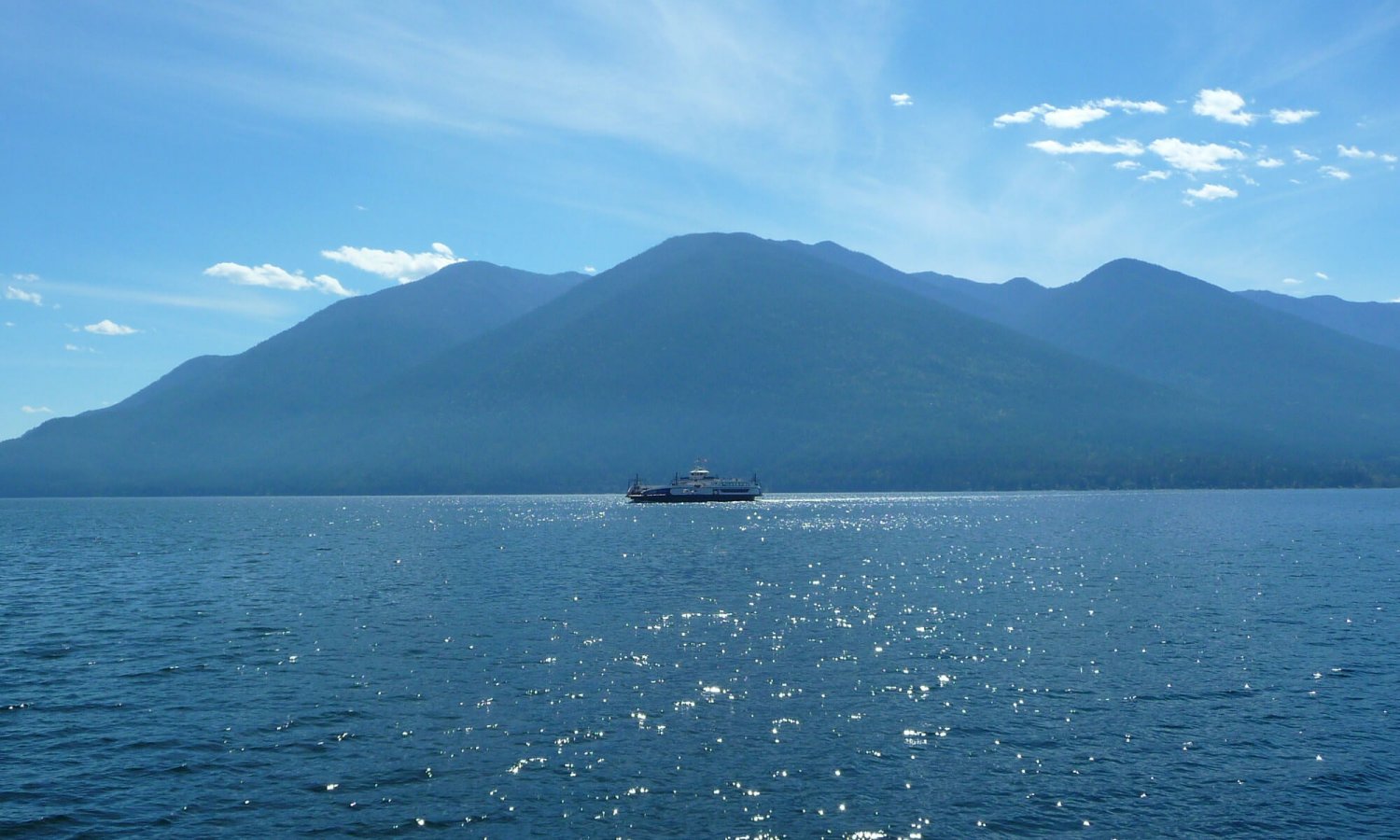
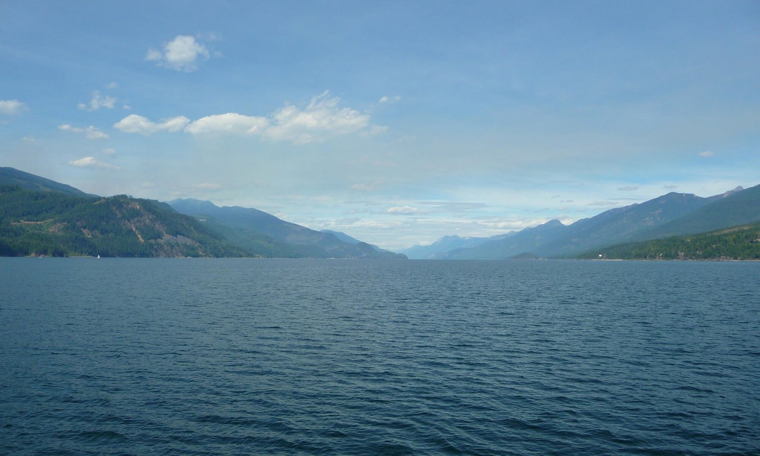
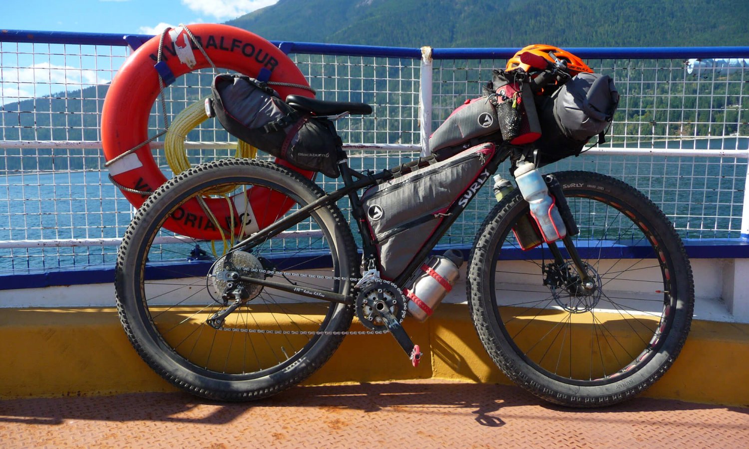
- The ferry ride across Kootenay Lake.
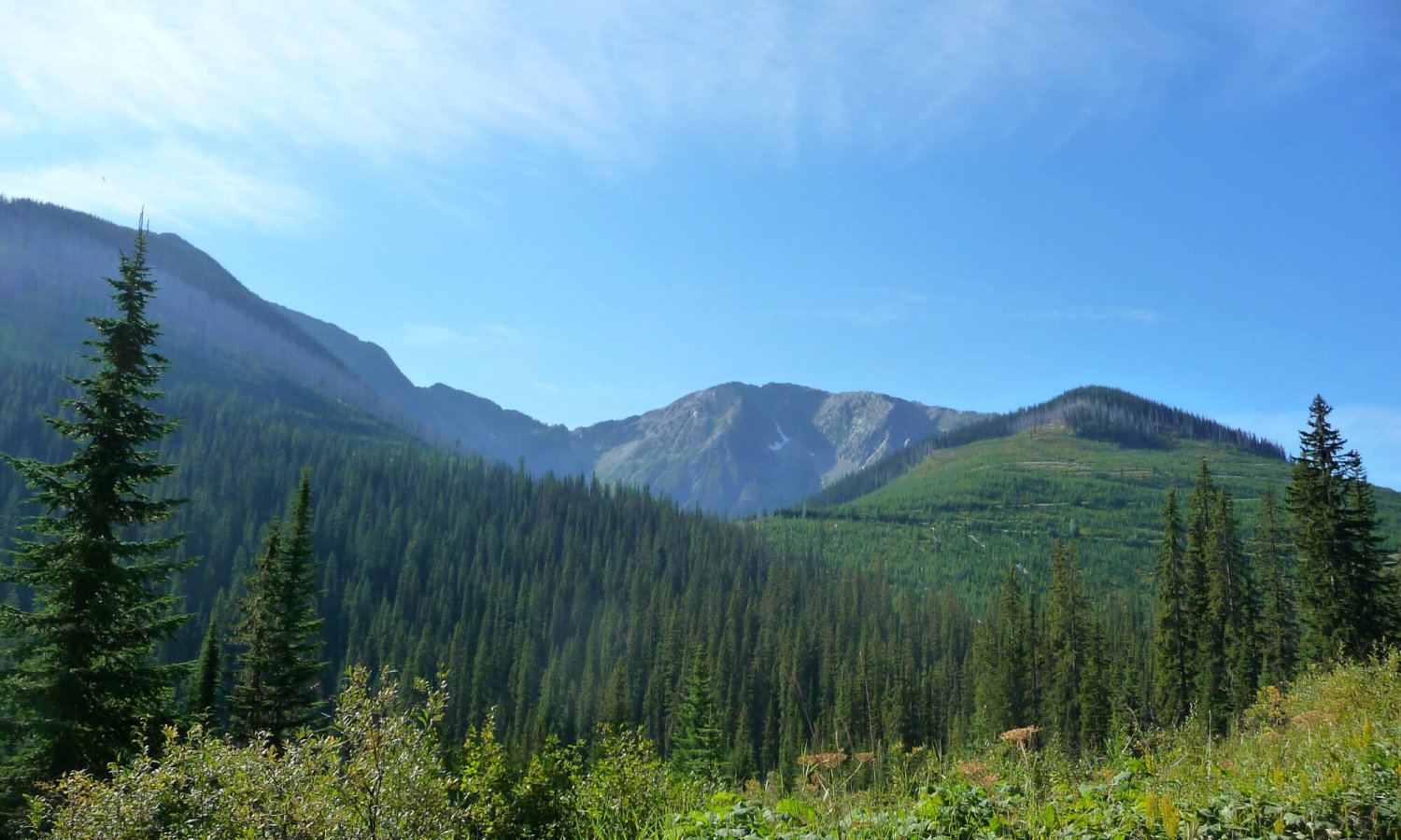
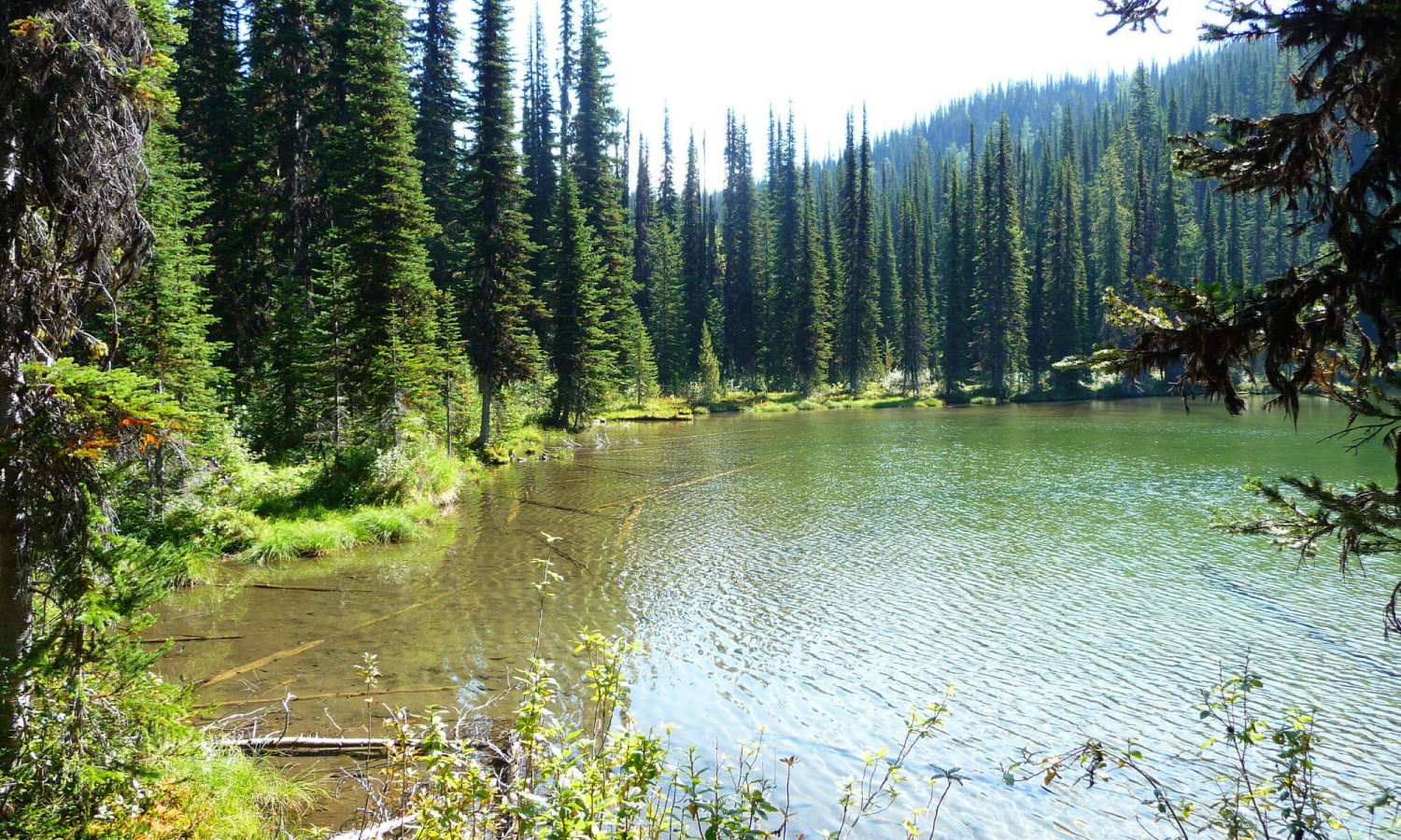
- The scenic alpine at the top of Gray Creek Pass.
- The 17km climb may not seem like much and Kimberley may not seem far but it is a grueling climb and a long distance between amenities. Prepare for a grueling climb. Unless you’re a super strong athlete I would give yourself 4 hours total with breaks from bottom to top if starting from the Crawford Bay side with a loaded bike.
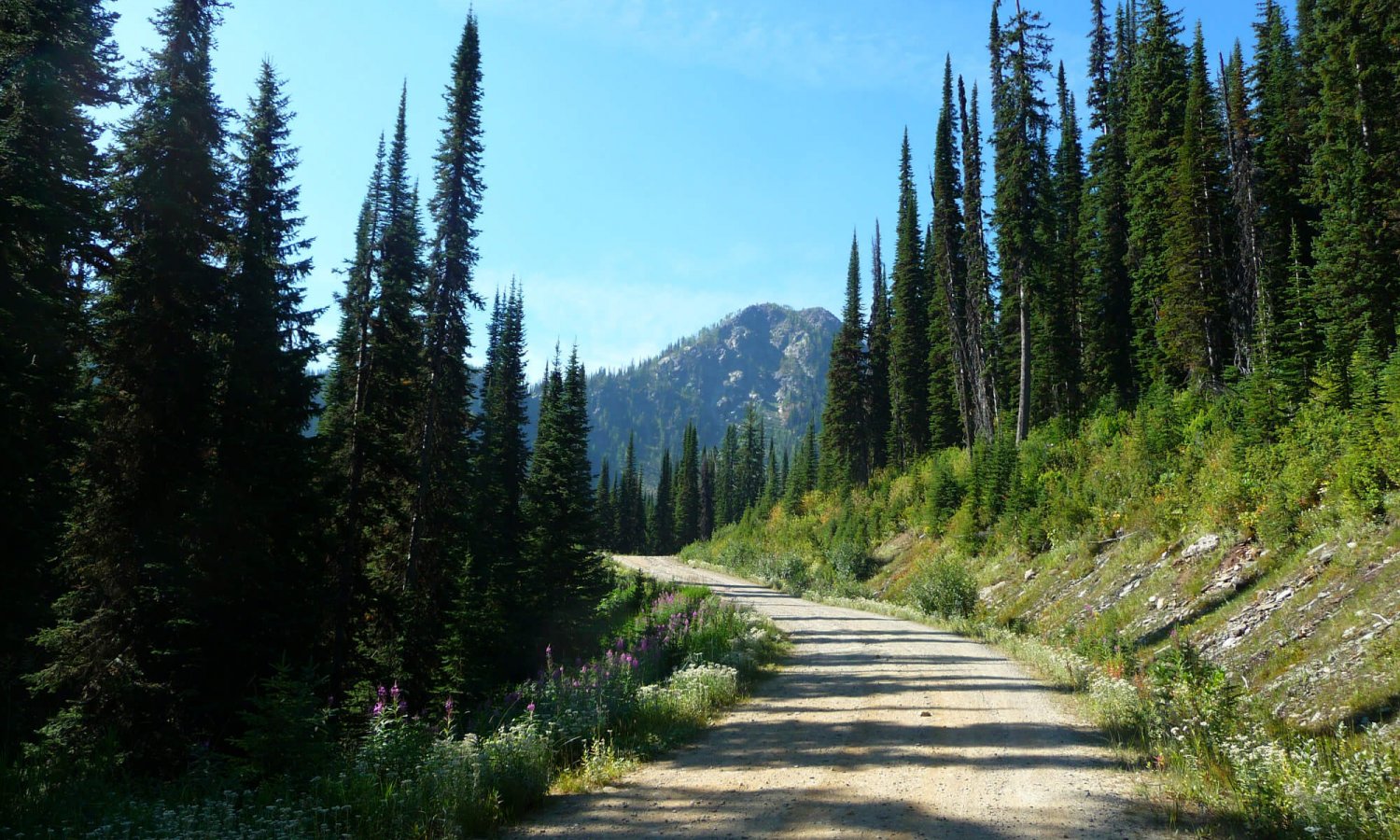
- There are no shortages of wild and free (user maintained) camp sites along the route.
- Make sure you have enough food for an overnight once you start your climb as it is a long way to Kimberley.
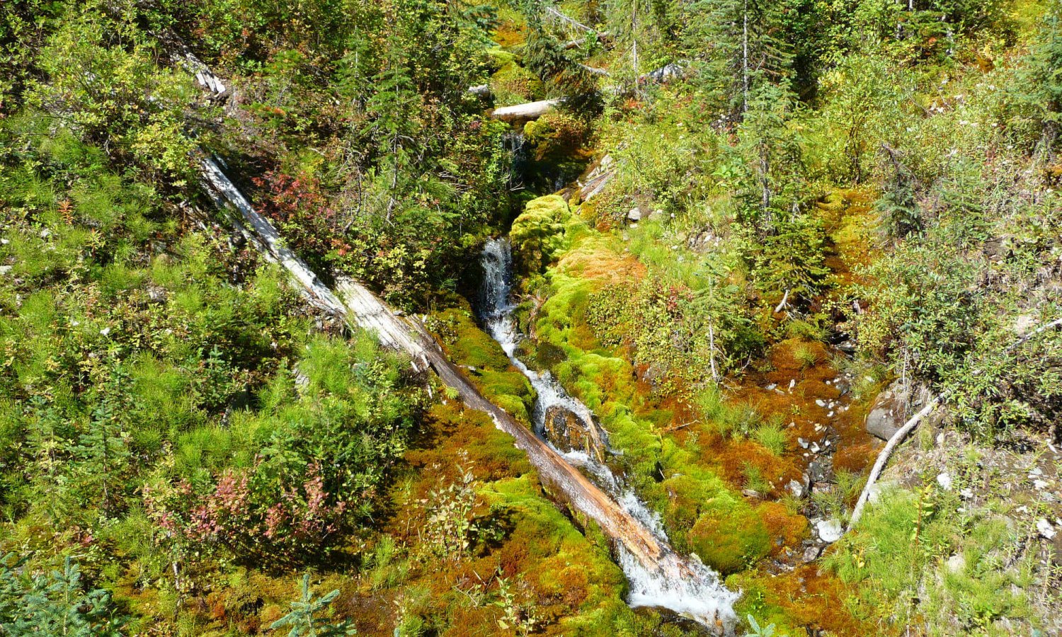
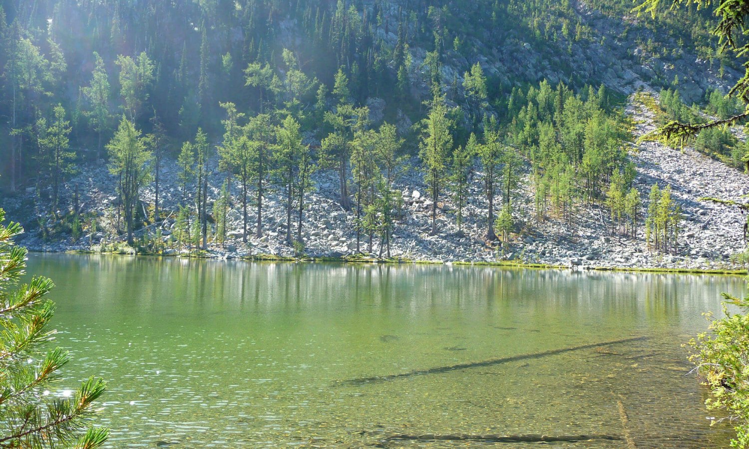
- There are plenty of creeks and a lake at the top for water refills during your ride.
- Depending on timing of the ferry and the time of year the earlier the better to complete the climb and get off to top as it can get cold at night at Oliver Lake.
Terms of Use: As with each bikepacking route guide published on ROADSAREFORWIMPS.com, should you choose to cycle this route, do so at your own risk. Prior to setting out check current local weather, conditions, and land/road closures. While riding, obey all public and private land use restrictions and rules, carry proper safety and navigational equipment, and of course, follow the #leavenotrace guidelines. The information found herein is simply a planning resource to be used as a point of inspiration in conjunction with your own due-diligence. In spite of the fact that this route, associated GPS track (GPX and maps), and all route guidelines were prepared under diligent research by the specified contributor and/or contributors, the accuracy of such and judgement of the author is not guaranteed. ROADSAREFORWIMPS.com, its partners, associates, and contributors are in no way liable for personal injury, damage to personal property, or any other such situation that might happen to individual riders cycling or following this route.
